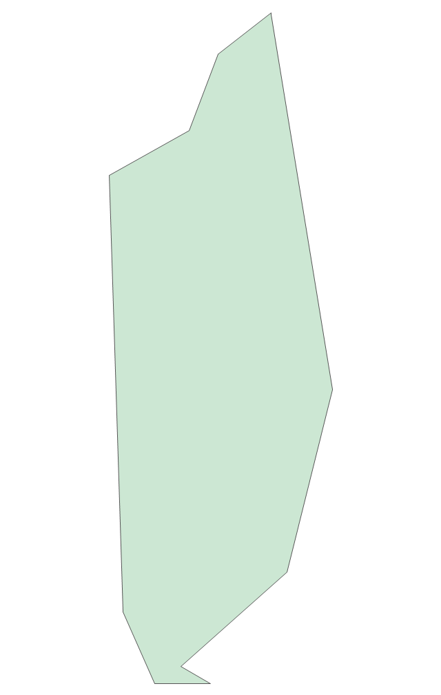
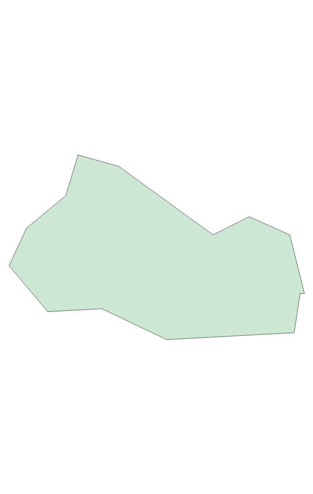
Geo Map - South America - Colombia

The vector stencils library Colombia contains contours for ConceptDraw PRO diagramming and vector drawing software. This library is contained in the Continent Maps solution from Maps area of ConceptDraw Solution Park.
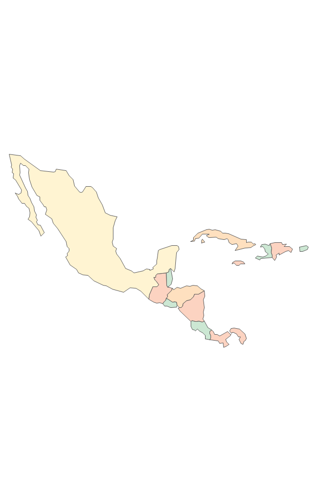
The vector stencils library "Latin America" contains 30 country contours for drawing thematic maps of Latin America.
Use it in your spatial infographics for visual representation of geospatial information, statistics and quantitative data in the ConceptDraw PRO diagramming and vector drawing software extended with the Spatial Infographics solution from the area "What is Infographics" of ConceptDraw Solution Park.
Use it in your spatial infographics for visual representation of geospatial information, statistics and quantitative data in the ConceptDraw PRO diagramming and vector drawing software extended with the Spatial Infographics solution from the area "What is Infographics" of ConceptDraw Solution Park.
Latin America

North America, Central America and the Caribbean

South America

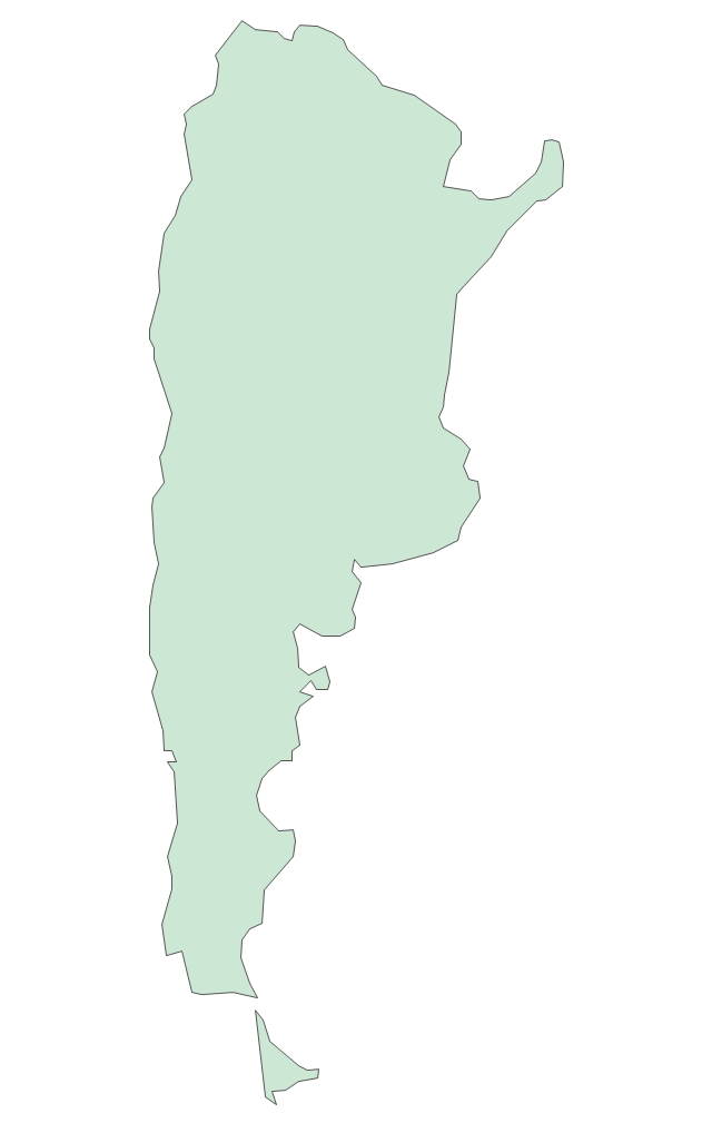
Argentina

Belize

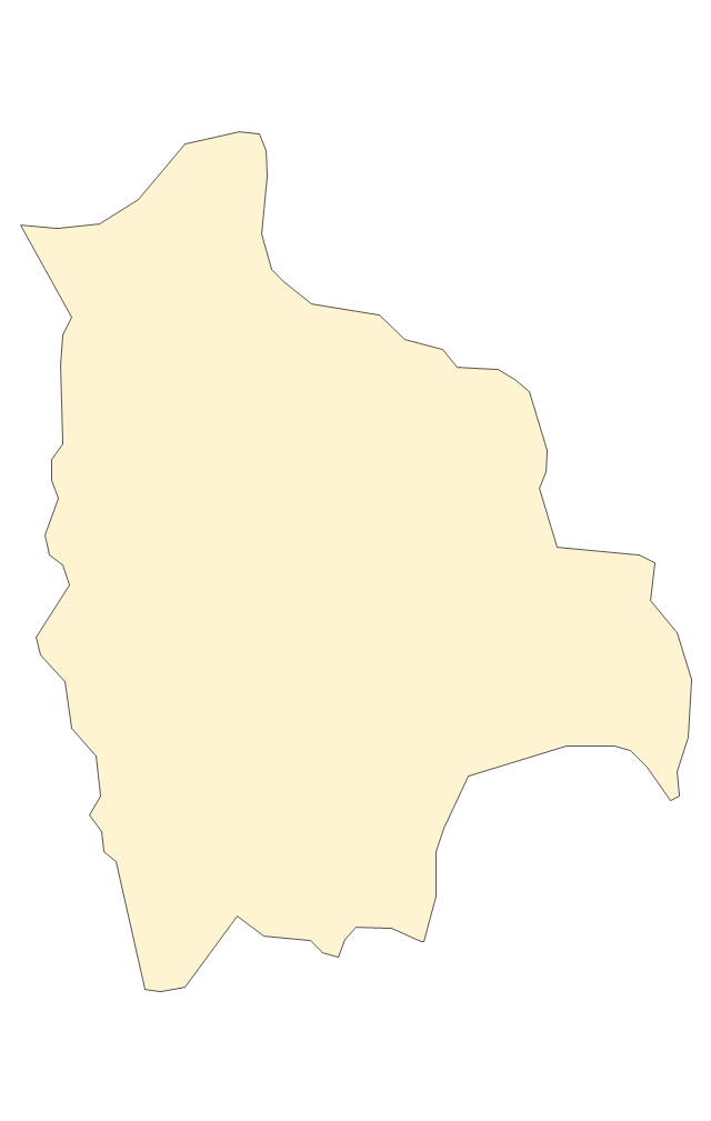
Bolivia

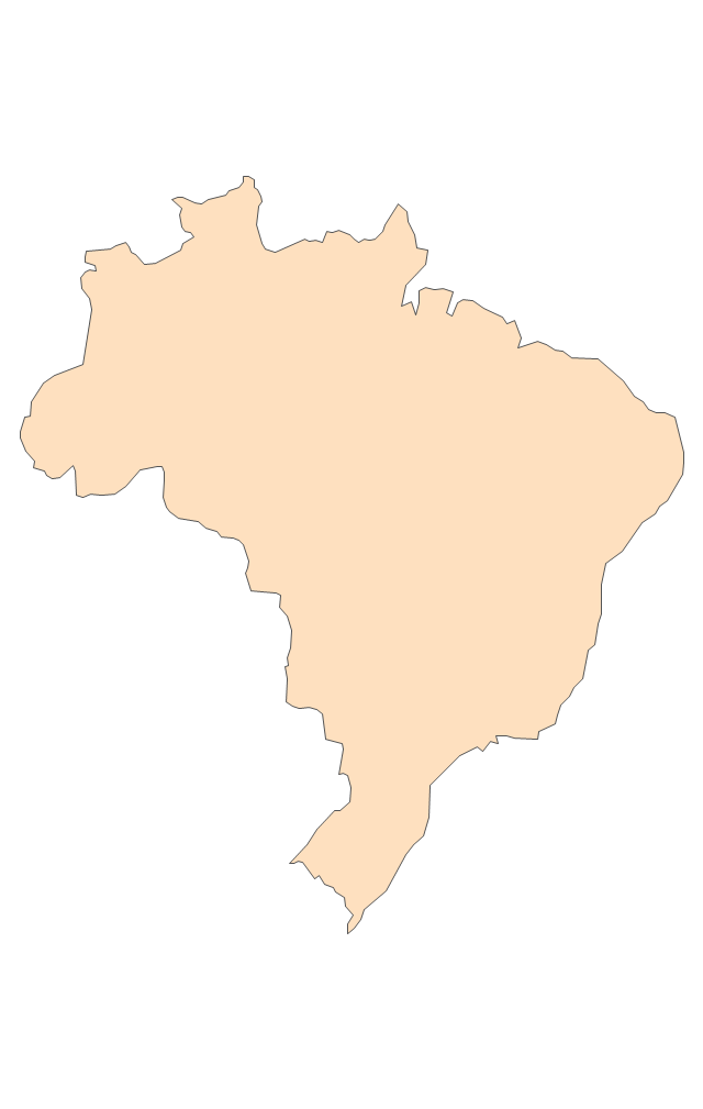
Brazil

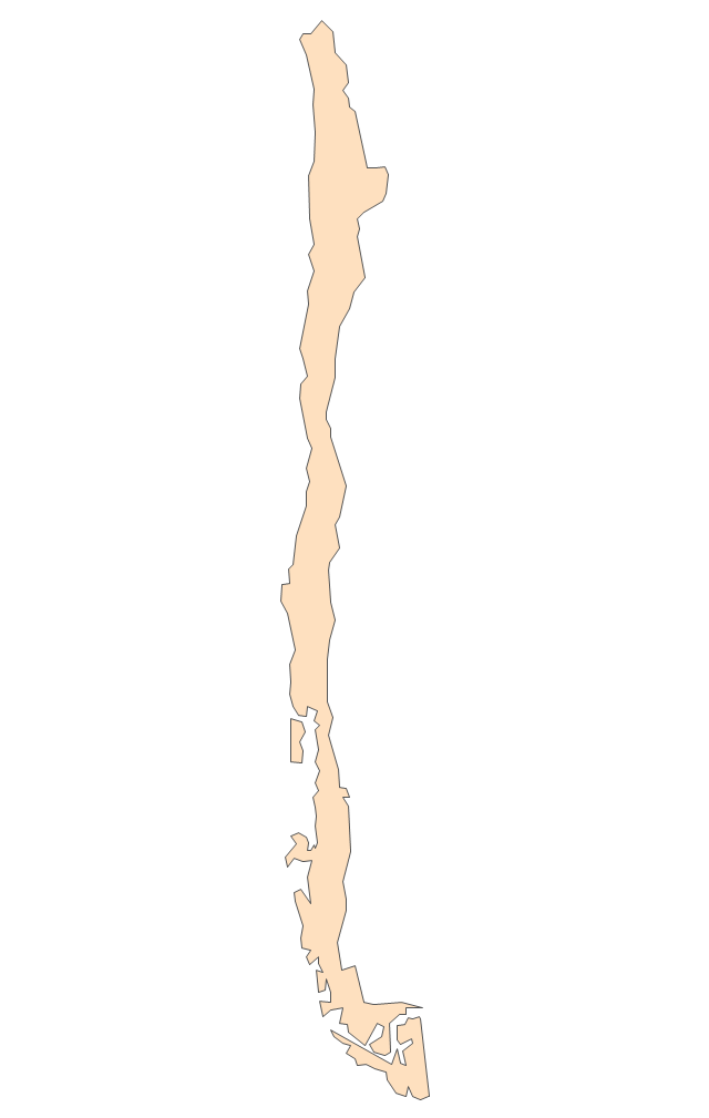
Chile

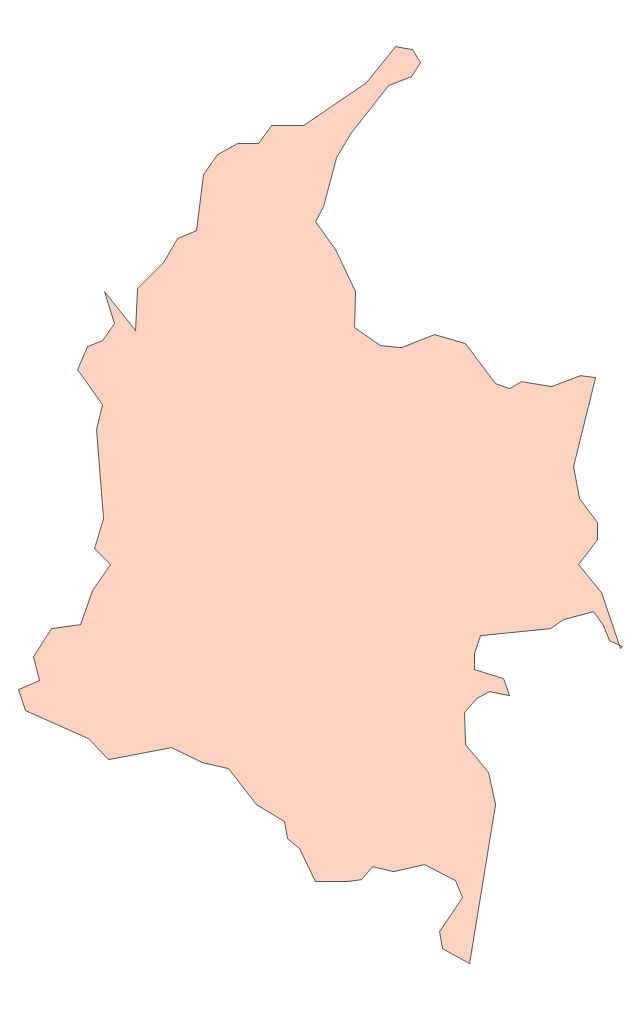
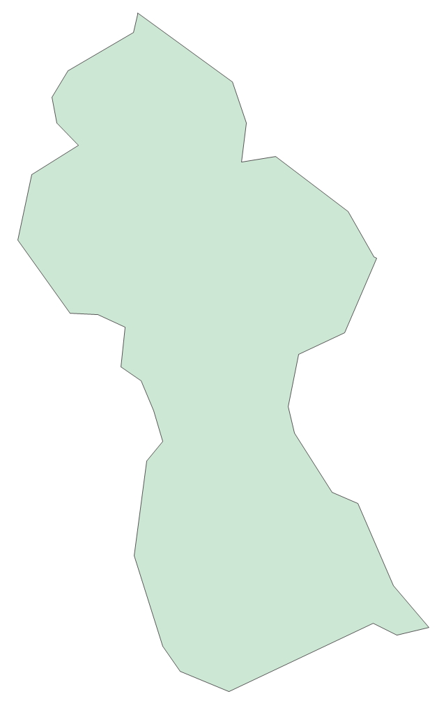
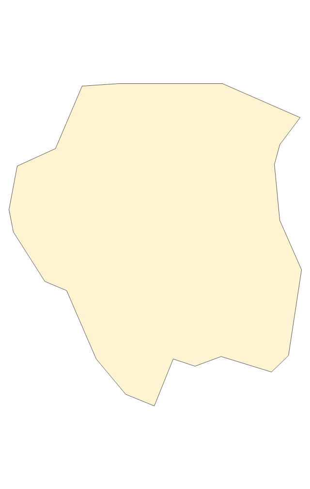
Colombia

Costa Rica

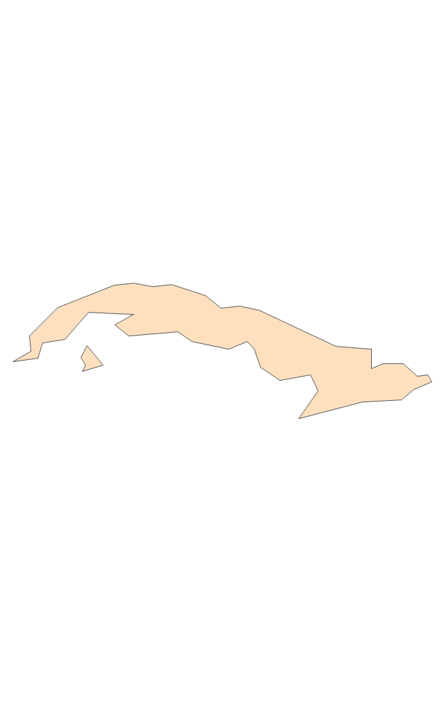
Cuba

Dominican Republic

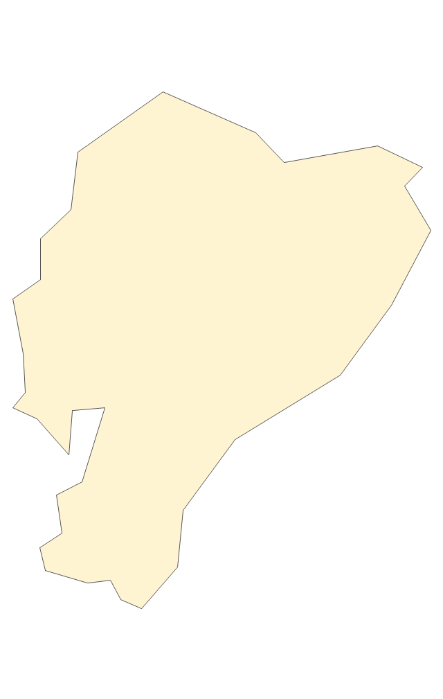
Ecuador

El Salvador

French Guiana

Guatemala

Guyana

Haiti

Honduras

Jamaica

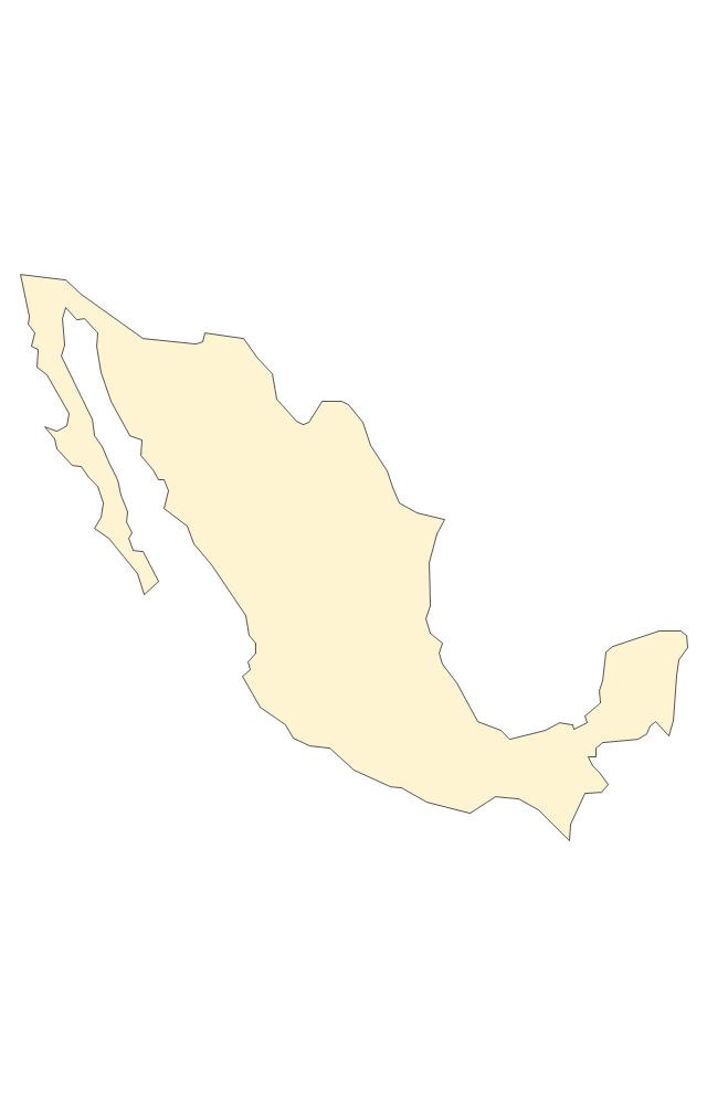
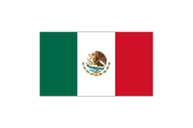
Mexico

Nicaragua

Panama

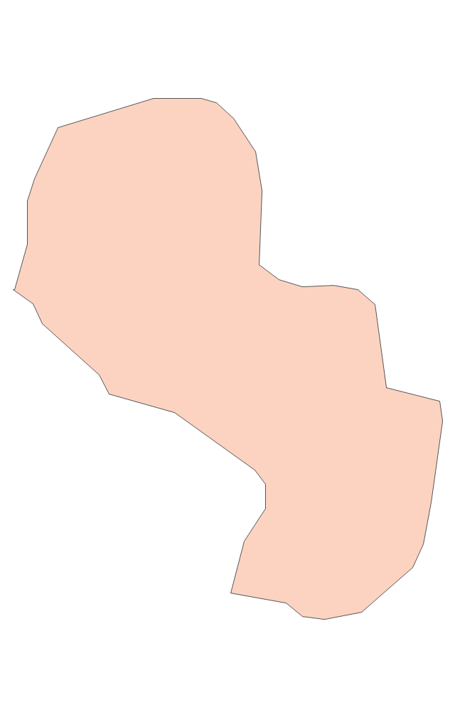
Paraguay

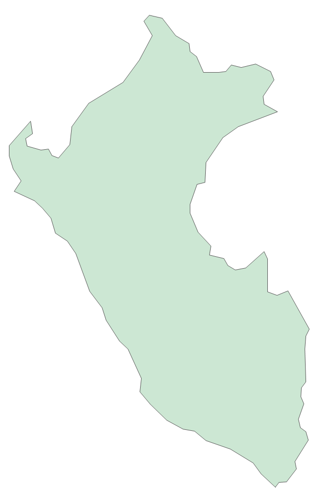
Peru

Puerto Rico

Suriname

Trinidad and Tobago

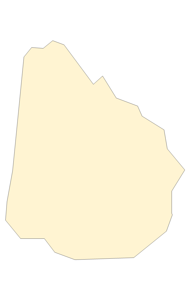
Uruguay

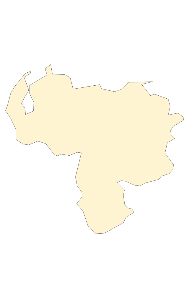
Venezuela

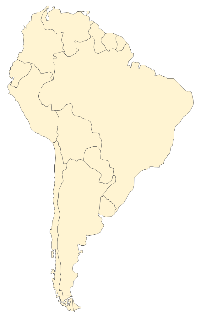
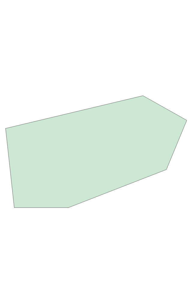
The vector stencils library "South America" contains 29 state map contours for drawing thematic maps of South America. Use it for visual representation of geospatial information, statistics and quantitative data.
"South America is a continent located in the Western Hemisphere, mostly in the Southern Hemisphere, with a relatively small portion in the Northern Hemisphere. ...
It is bordered on the west by the Pacific Ocean and on the north and east by the Atlantic Ocean; North America and the Caribbean Sea lie to the northwest. It includes twelve sovereign states - Argentina, Bolivia, Brazil, Chile, Colombia, Ecuador, Guyana, Paraguay, Peru, Suriname, Uruguay, and Venezuela - and two non-sovereign areas - French Guiana, an overseas department of France, and the Falkland Islands, a British Overseas Territory (nonetheless claimed by Argentina). In addition to this, the ABC islands of the Netherlands may also be considered part of South America." [South America. Wikipedia]
The state map contours example "South America - Vector stencils library" was created using the ConceptDraw PRO diagramming and vector drawing software extended with the Continent Maps solution from the Maps area of ConceptDraw Solution Park.
South America
Central America
Argentina
Bolivia
Brazil
Chile
Colombia
Ecuador
French Guiana
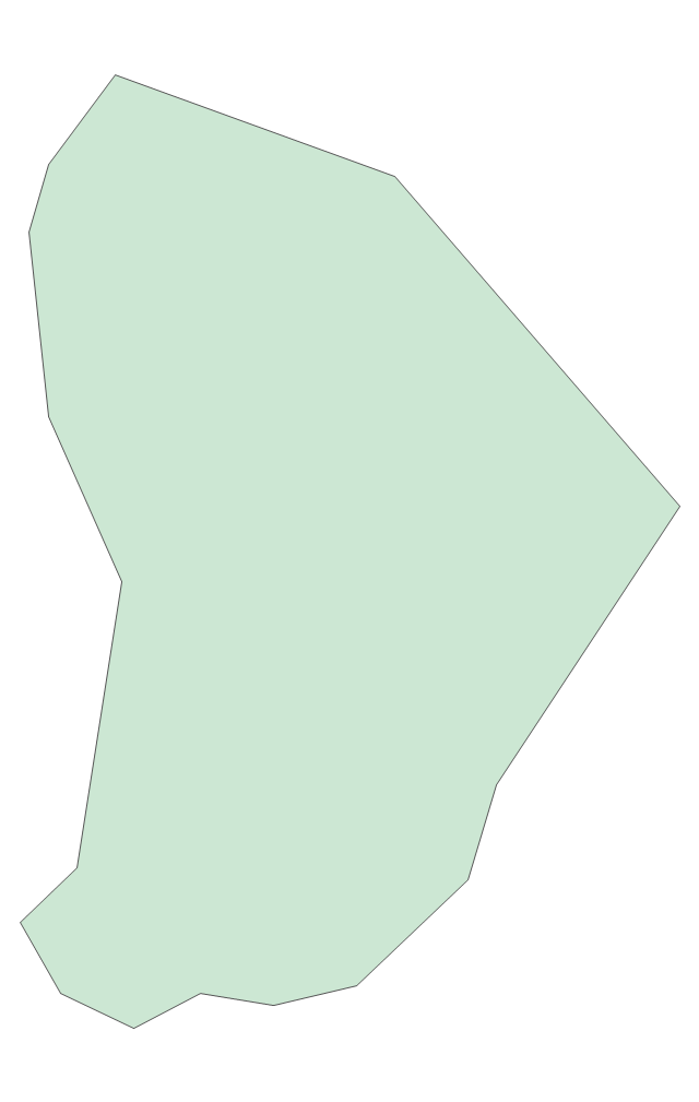
Guyana
Paraguay
Peru
Suriname
Uruguay
Venezuela
Trinidad and Tobago
Belize
Costa Rica
Cuba
Dominican Republic
El Salvador
Guatemala
Haiti
Honduras
Jamaica
Mexico
Nicaragua
Panama
Puerto Rico
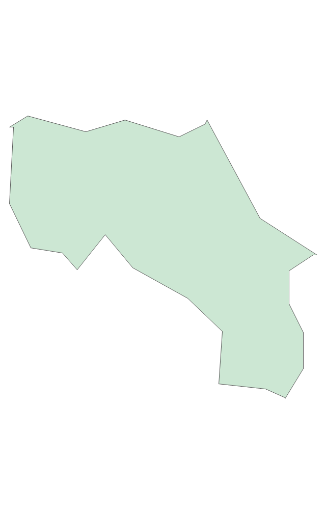
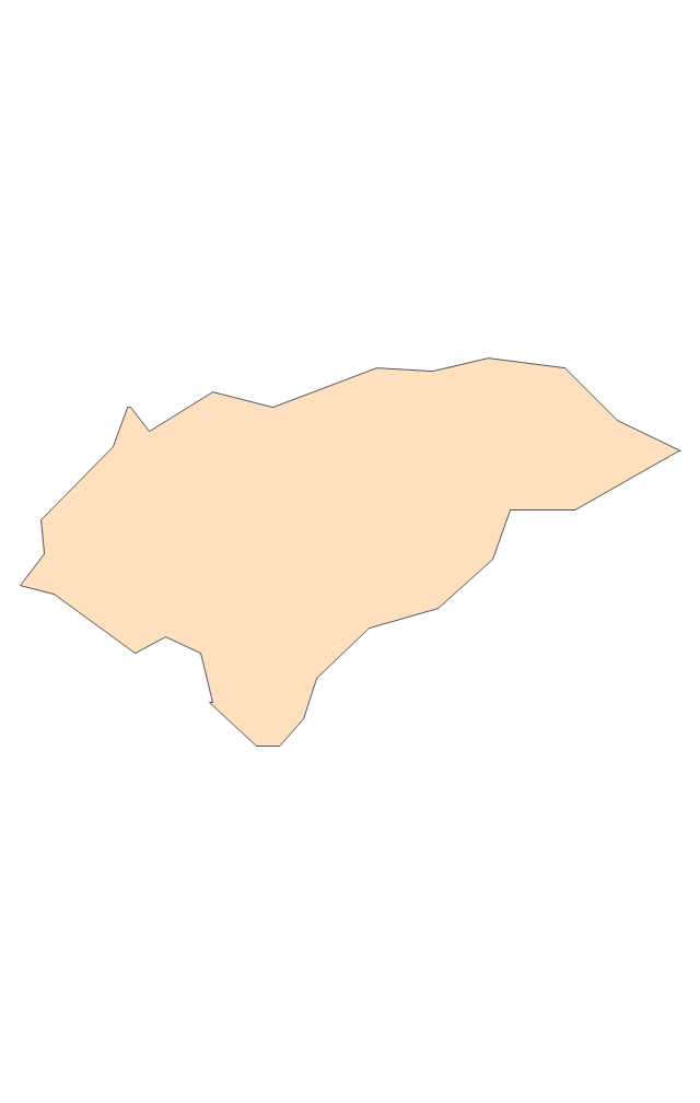
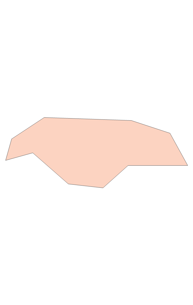
Geo Map - South America - Panama

The vector stencils library Panama contains contours for ConceptDraw PRO diagramming and vector drawing software. This library is contained in the Continent Maps solution from Maps area of ConceptDraw Solution Park.
The vector stencils library "Latin America" contains 30 country contours for drawing thematic maps of Latin America.
Use it in your spatial infographics for visual representation of geospatial information, statistics and quantitative data in the ConceptDraw PRO diagramming and vector drawing software extended with the Spatial Infographics solution from the area "What is Infographics" of ConceptDraw Solution Park.
Use it in your spatial infographics for visual representation of geospatial information, statistics and quantitative data in the ConceptDraw PRO diagramming and vector drawing software extended with the Spatial Infographics solution from the area "What is Infographics" of ConceptDraw Solution Park.
Latin America
North America, Central America and the Caribbean
South America
Argentina
Belize
Bolivia
Brazil
Chile
Colombia
Costa Rica
Cuba
Dominican Republic
Ecuador
El Salvador
French Guiana
Guatemala
Guyana
Haiti
Honduras
Jamaica
Mexico
Nicaragua
Panama
Paraguay
Peru
Puerto Rico
Suriname
Trinidad and Tobago
Uruguay
Venezuela
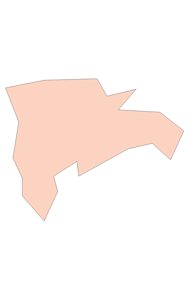
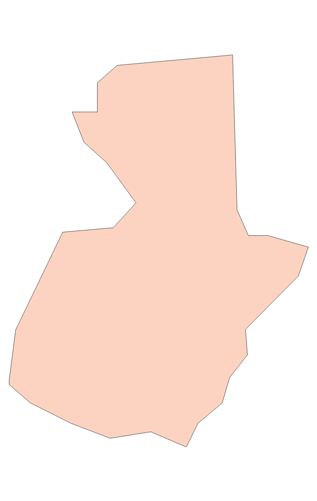
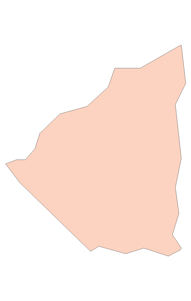
Geo Map - South America - Guatemala

The vector stencils library Guatemala contains contours for ConceptDraw PRO diagramming and vector drawing software. This library is contained in the Continent Maps solution from Maps area of ConceptDraw Solution Park.
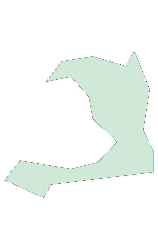
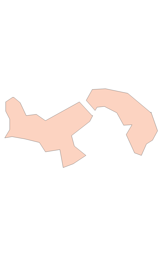
Geo Map - South America - Trinidad and Tobago

The vector stencils library Trinidad and Tobago contains contours for ConceptDraw PRO diagramming and vector drawing software. This library is contained in the Continent Maps solution from Maps area of ConceptDraw Solution Park.
Sample Pictorial Chart. Sample Infographics
")
Use Pictorial Infographics solution to draw your own design pictorial infographics documents quick and easy.
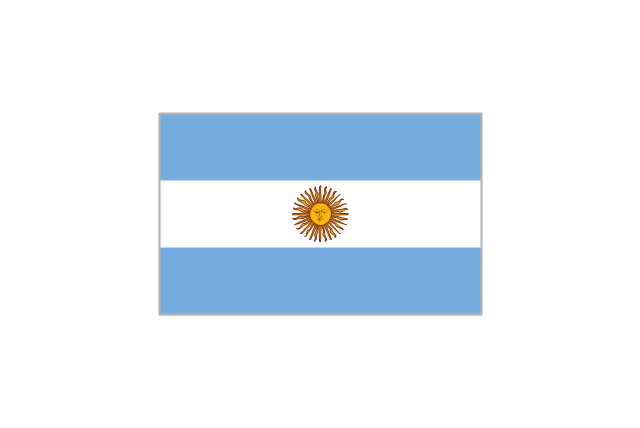
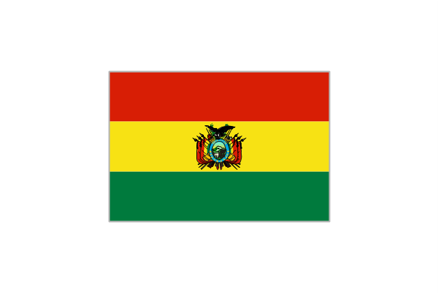
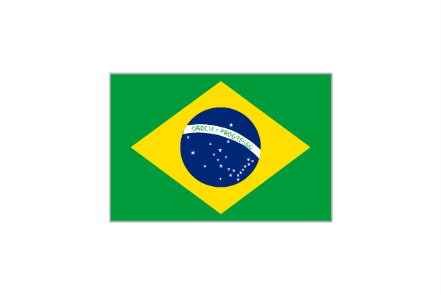
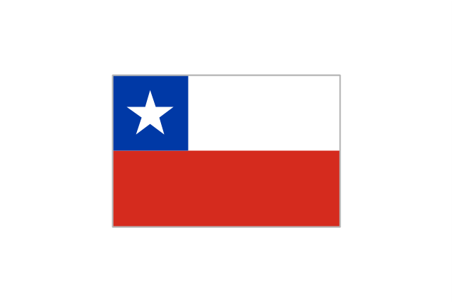
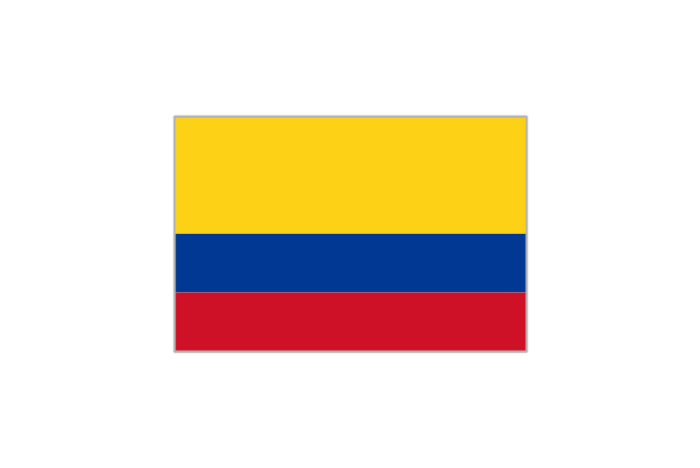
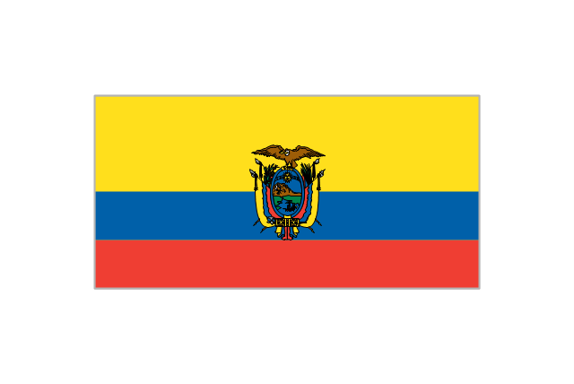
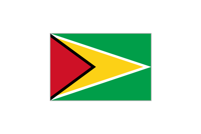
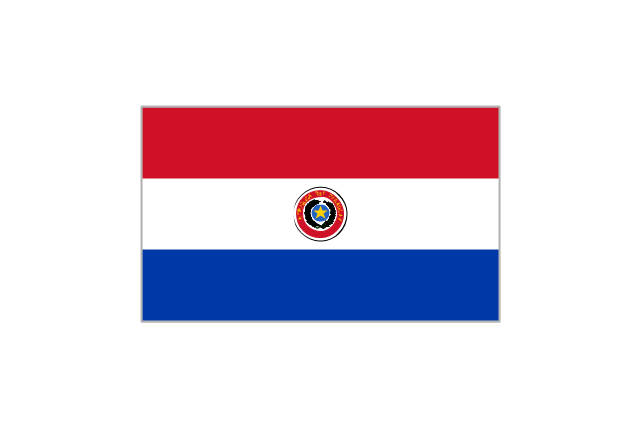
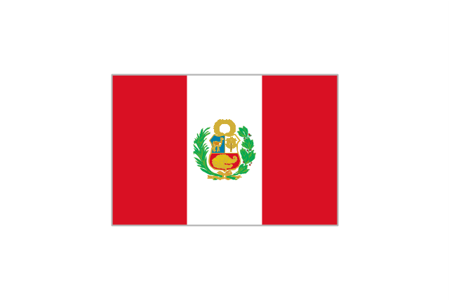
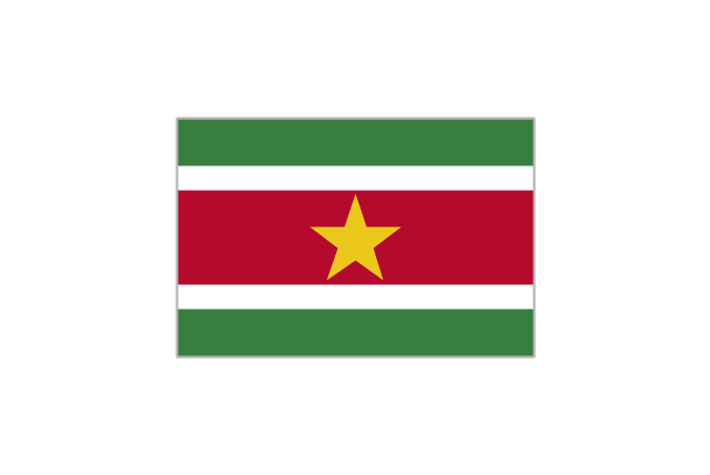
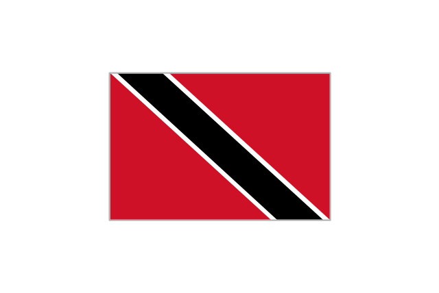
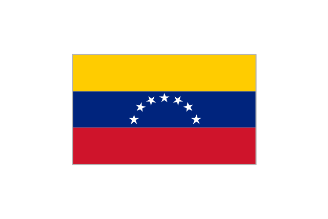
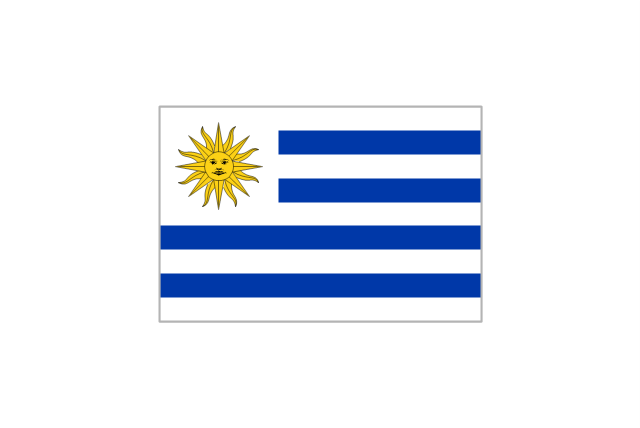
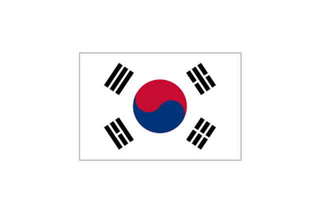
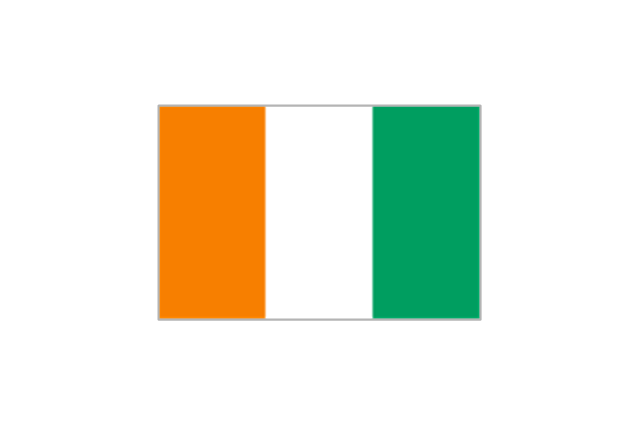
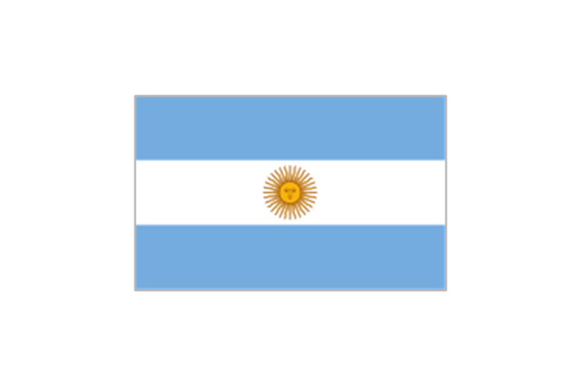
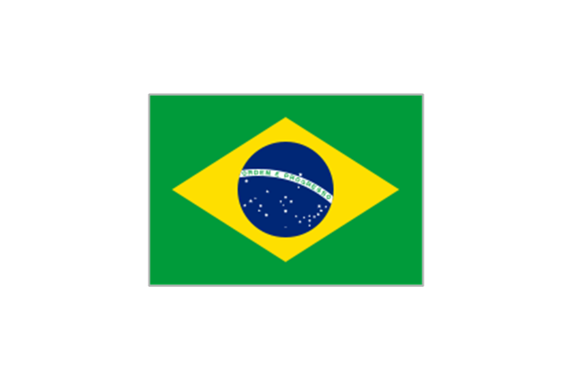
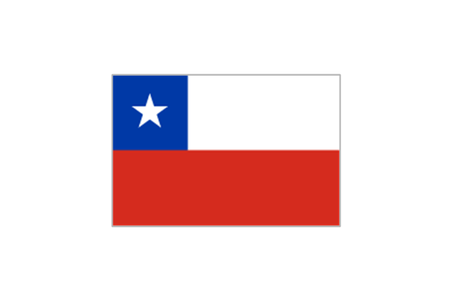
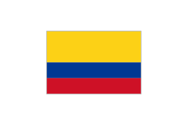
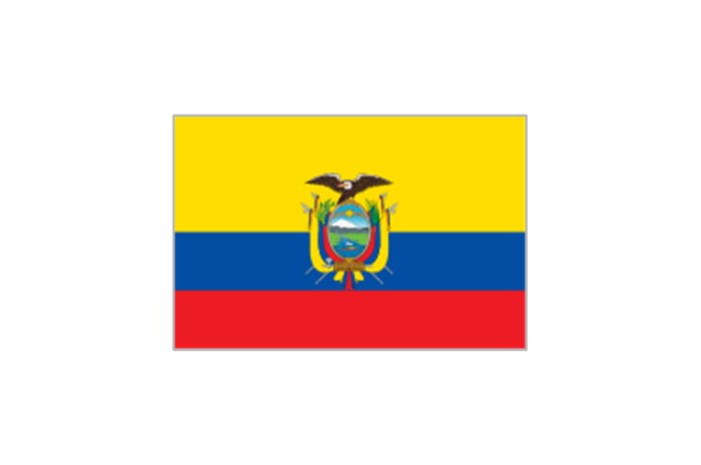
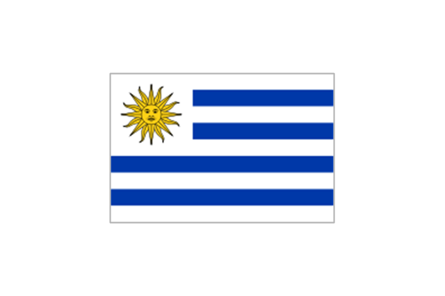
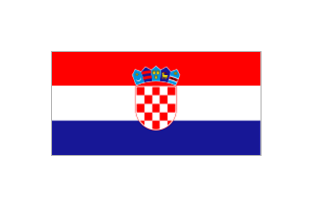
The vector stencils library "South America country flags" contains 13 clipart images of South American state flags. Use the South America country flags clip art to illustrate your business documents, presentation slides, web pages, geo maps and infographics. The clip art example "South America country flags - Vector stencils library" was created using the ConceptDraw PRO diagramming and vector drawing software extended with the Artwork solution from the Illustration area of ConceptDraw Solution Park.
Argentina
Bolivia
Brazil
Chile
Colombia
Ecuador
Guyana
Paraguay
Peru
Suriname
Trinidad and Tobago
Venezuela
Uruguay
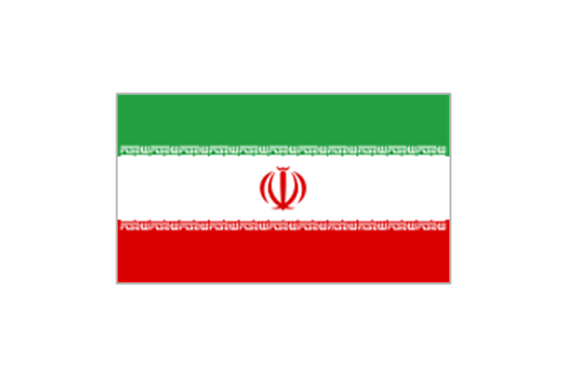
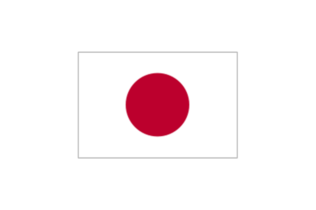
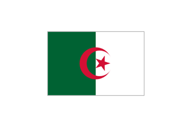
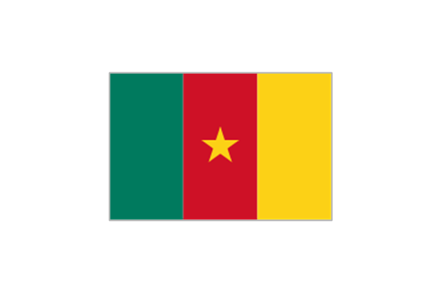
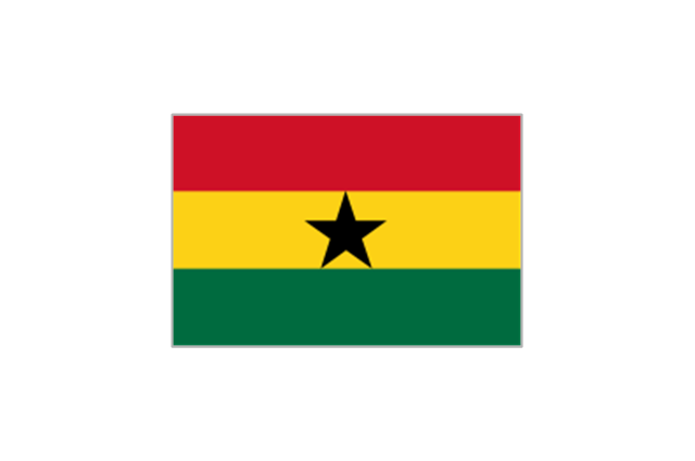
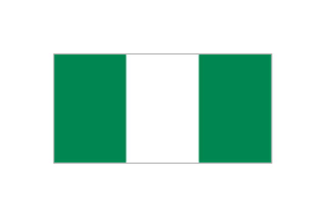
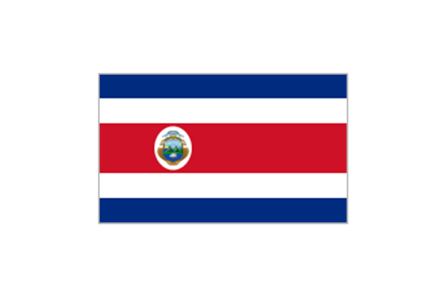
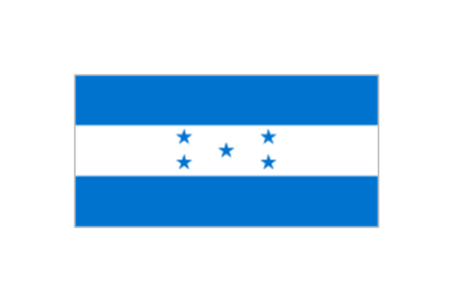
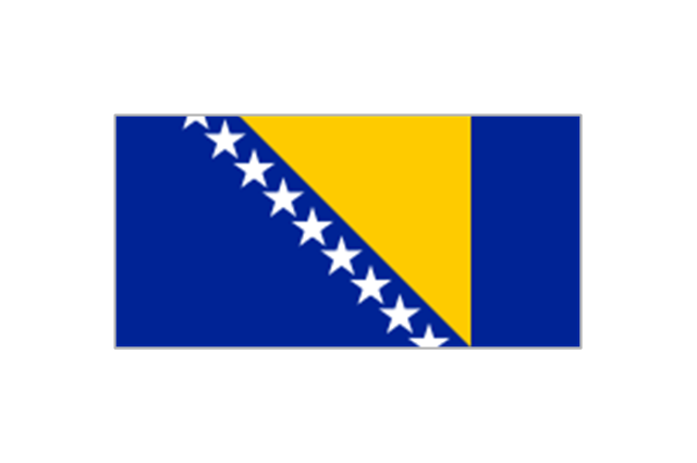
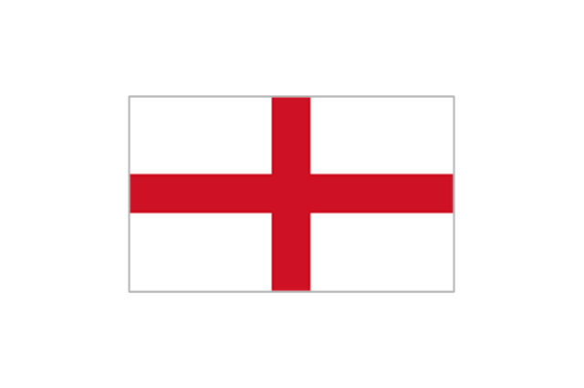
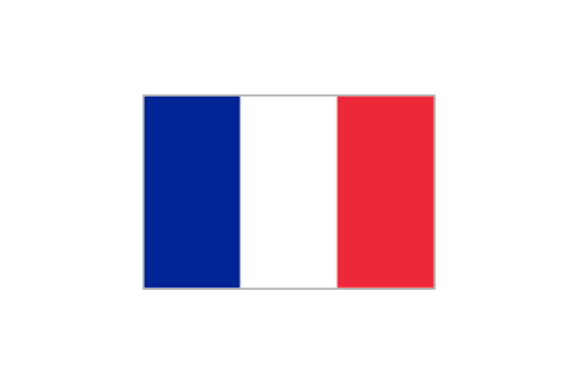
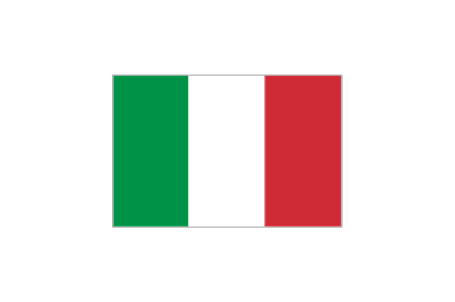
The vector stencils library "FIFA World Cup 2014 team flags" contains 32 FIFA World Cup 2014 team flags clipart.
Use these shapes to draw your FIFA World Cup infographics and illustrations in the ConceptDraw PRO diagramming and vector drawing software extended with the Soccer solution from the Sport area of ConceptDraw Solution Park.
www.conceptdraw.com/ solution-park/ sport-soccer
Use these shapes to draw your FIFA World Cup infographics and illustrations in the ConceptDraw PRO diagramming and vector drawing software extended with the Soccer solution from the Sport area of ConceptDraw Solution Park.
www.conceptdraw.com/ solution-park/ sport-soccer
Australia

Iran
Japan
South Korea
Algeria
Cameroon
Ghana
Ivory Coast
Nigeria
Costa Rica
Honduras
Mexico
United States

Argentina
Brazil
Chile
Colombia
Ecuador
Uruguay
Belgium

Bosnia and Herzegovina
Croatia
England
France
Germany

Greece

Italy
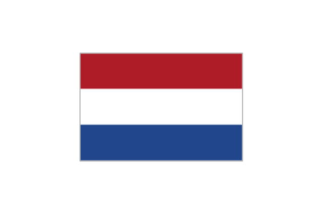
Netherlands
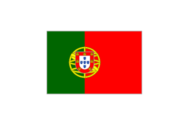
Portugal
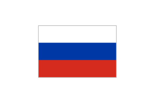
Russia
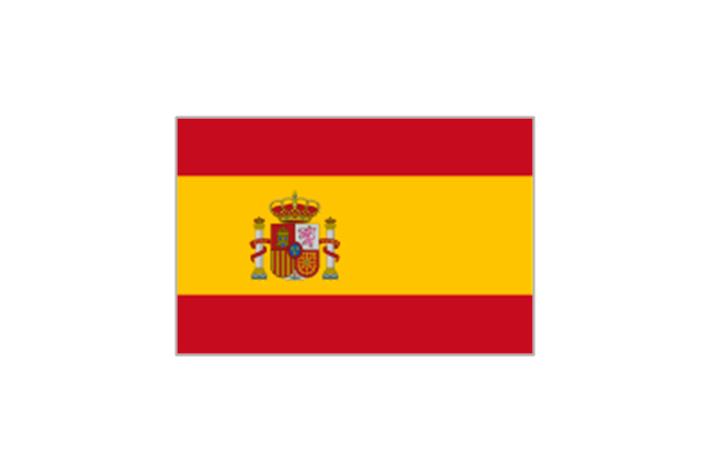
Spain
Switzerland

Geo Map - South America - Chile

The vector stencils library Chile contains contours for ConceptDraw PRO diagramming and vector drawing software. This library is contained in the Continent Maps solution from Maps area of ConceptDraw Solution Park.
Geo Map - South America Continent

ConceptDraw PRO is idea to draw the geological maps of South America continent from the pre-designed vector geo map shapes.
Use Continent Maps solution from the Maps area of ConceptDraw Solution Park to draw thematic maps, geospatial infographics and vector illustrations for your business documents, presentations and websites.
Geo Map - South America Continent
ConceptDraw PRO is idea to draw the geological maps of South America continent from the pre-designed vector geo map shapes.
Use Continent Maps solution from the Maps area of ConceptDraw Solution Park to draw thematic maps, geospatial infographics and vector illustrations for your business documents, presentations and websites.
Geo Map - South America - Honduras

The vector stencils library Honduras contains contours for ConceptDraw PRO diagramming and vector drawing software. This library is contained in the Continent Maps solution from Maps area of ConceptDraw Solution Park.
Geo Map - South America - Ecuador

The vector stencils library Ecuador contains contours for ConceptDraw PRO diagramming and vector drawing software. This library is contained in the Continent Maps solution from Maps area of ConceptDraw Solution Park.
- Vector Chile Png
- Colombia Country Map Png
- Chile Vector Png
- Mapa Chile Vector Png
- Chile Mapa Vector Png
- Geo Map - South America
- Geo Map - South America - Colombia
- Sudamerica Vector Png
- Geo Map - South America - Nicaragua
- Map Peru Png
- Geo Map - South America - Guyana | Latin America - Vector stencils ...
- Latin America - Vector stencils library
- Japan Flag Vector Png
- Geo Map - South America - Ecuador | Latin America - Vector stencils ...
- Design elements - Geography | Geography - Vector stencils library ...
- Mexico Png
- Mountain Range Vector Png
- Geo Map - South America - Venezuela | South America flags ...
- Geo Map - South America - Chile | Geo Map - USA - Montana | Geo ...
- Department Vector Png
- ERD | Entity Relationship Diagrams, ERD Software for Mac and Win
- Flowchart | Basic Flowchart Symbols and Meaning
- Flowchart | Flowchart Design - Symbols, Shapes, Stencils and Icons
- Flowchart | Flow Chart Symbols
- Electrical | Electrical Drawing - Wiring and Circuits Schematics
- Flowchart | Common Flowchart Symbols
- Flowchart | Common Flowchart Symbols