 Illustration
This solution extends ConceptDraw PRO v9.4, allowing you to make professional-looking documents, presentations and websites illustrated with color, scalable vector clip art and shapes, regardless of drawing skills.
HelpDesk
How to Create a BPMN Diagram Using ConceptDraw PRO

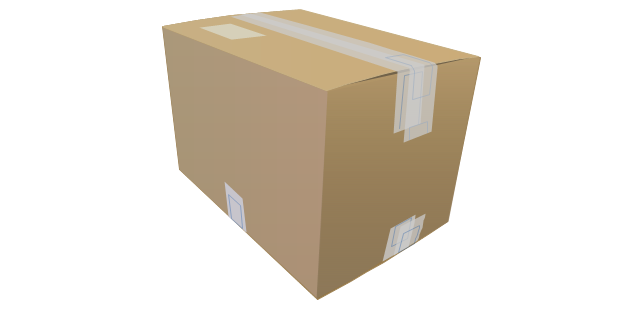
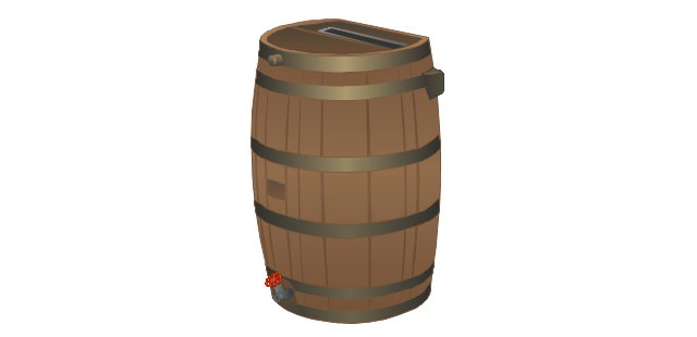
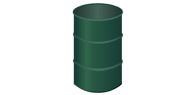
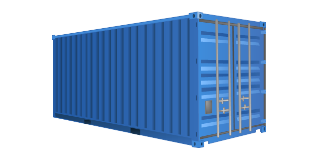
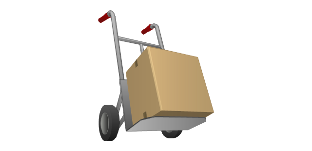
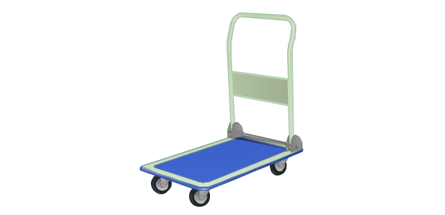
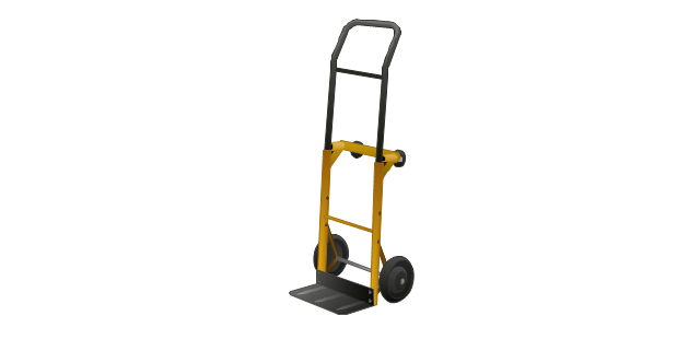
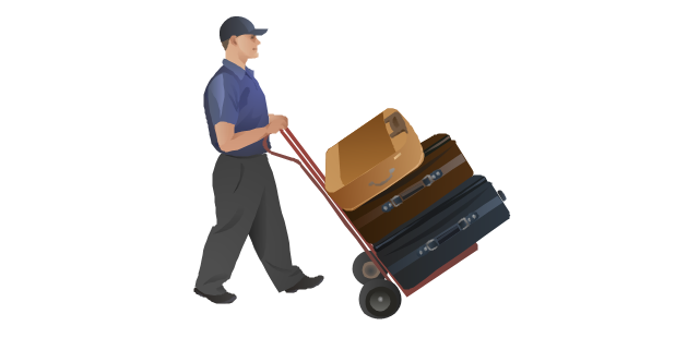
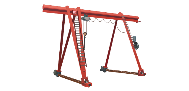
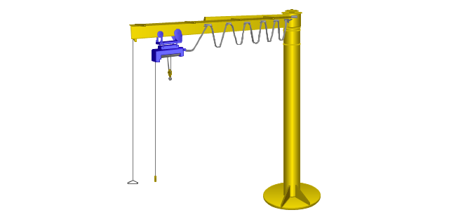
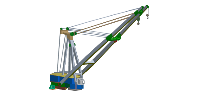
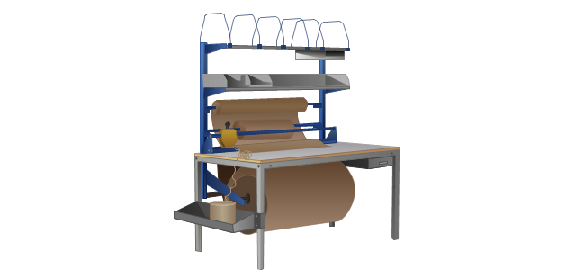
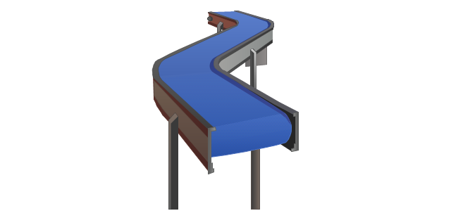
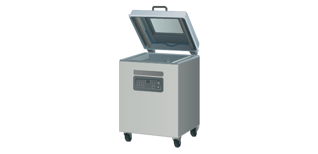
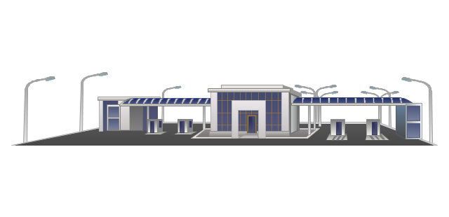
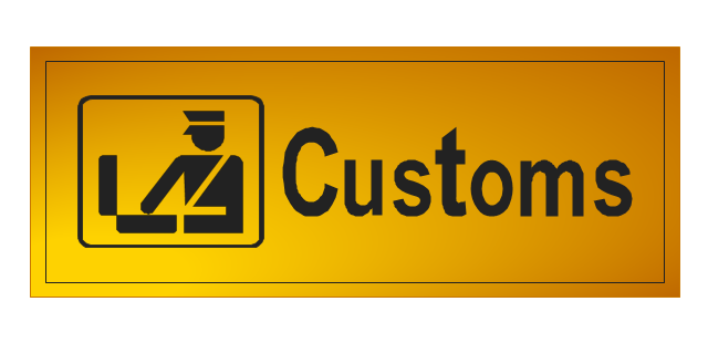
The vector stencils library "Packaging, loading, customs" contains 28 clipart images of packing materials and packaging equipment for drawing illustrations.
"Packaging is the technology of enclosing or protecting products for distribution, storage, sale, and use. Packaging also refers to the process of design, evaluation, and production of packages. Packaging can be described as a coordinated system of preparing goods for transport, warehousing, logistics, sale, and end use. Packaging contains, protects, preserves, transports, informs, and sells. In many countries it is fully integrated into government, business, institutional, industrial, and personal use." [Packaging and labeling. Wikipedia]
The clip art example "Packaging, loading, customs - Vector stencils library" was created in ConceptDraw PRO diagramming and vector drawing software using the Manufacturing and Maintenance solution from the Illustration area of ConceptDraw Solution Park.
Cardboard box
Cardboard box (open)
-packaging,-loading,-customs---vector-stencils-library.png--diagram-flowchart-example.png)
Paper bag

Woodgrain barrel
Barrel
Crate

Container
Handcart with cardboard box
Flatbed trolley
Hand truck
Porter
Gantry crane
Jib crane
Level luffing crane
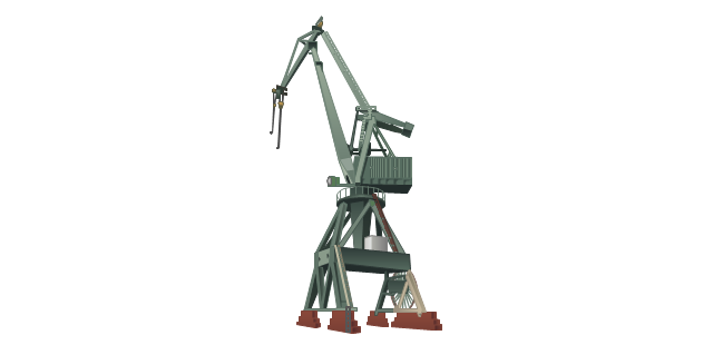
Deck crane
Packaging

Packaging machine
Packing conveyor
Vacuum packaging machine
State border sign

Border checkpoint
Customs sign
Border control

Port of entry office
Customs officer

Stocker with cardboard boxes

Warehouse workers

Pallet jack
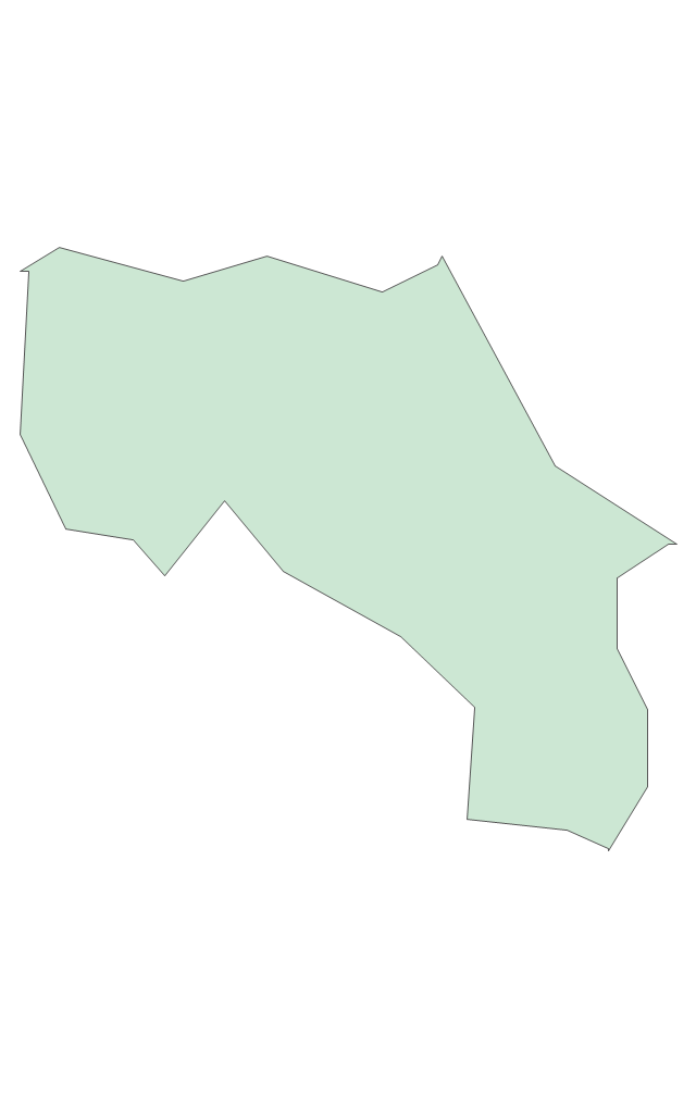
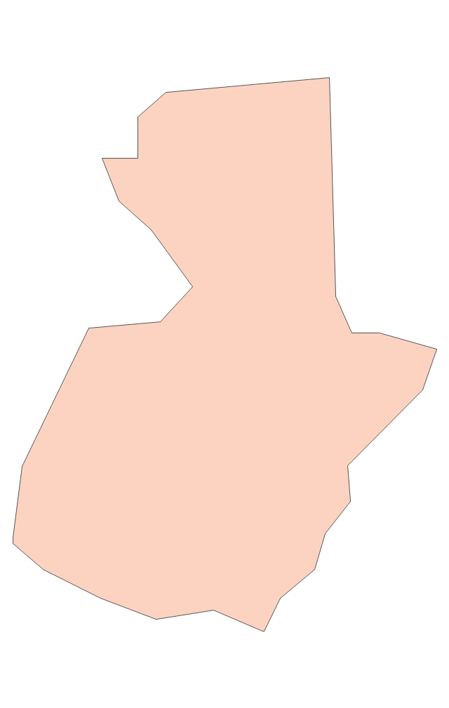
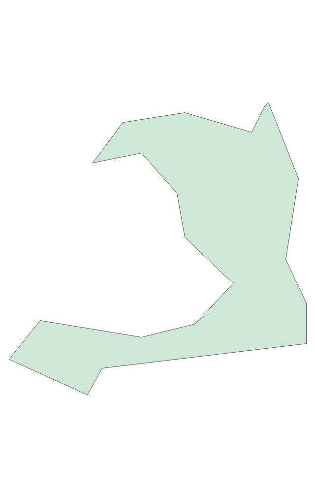
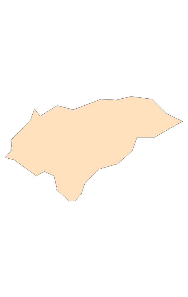
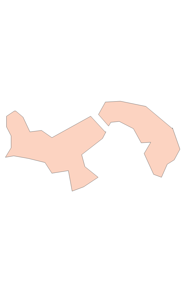
The vector stencils library "Asia" contains 57 Asian state map contours for drawing thematic and political maps of Asia. Use it for visual representation of geospatial information, statistics and quantitative data.
"Asia is the Earth's largest and most populous continent, located primarily in the eastern and northern hemispheres. ... Countries: 49 (and 5 disputed)." [Asia. Wikipedia]
The state map contours example "Asia - Vector stencils library" was created using the ConceptDraw PRO diagramming and vector drawing software extended with the Continent Maps solution from the Maps area of ConceptDraw Solution Park.
Asia

Central Asia

South Asia

East Asia

Southeast Asia

Afghanistan

Armenia

Azerbaijan

Bahrain

Bangladesh

Bhutan

Brunei

Burma (Myanmar)
-asia---vector-stencils-library.png--diagram-flowchart-example.png)
Cambodia

China

Cyprus

Georgia

India

Indonesia

Iran

Iraq

Israel

Japan

Jordan

Kazakhstan

Kuwait

Kyrgyzstan

Laos

Lebanon

Malaysia

Maldives

Mongolia

Nepal

North Korea

Oman

Pakistan

Papua New Guinea

Philippines

Qatar

Russia (Asia)
-asia---vector-stencils-library.png--diagram-flowchart-example.png)
Saudi Arabia

Singapore

South Korea

Sri Lanka

Syria

Taiwan

Tajikistan

Thailand

Turkey

Turkmenistan

United Arab Emirates

Uzbekistan

Vietnam

Yemen

Aral Sea

Caspian Sea

Lake Balkhash

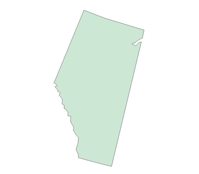
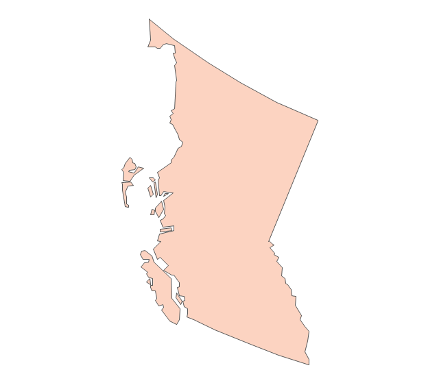
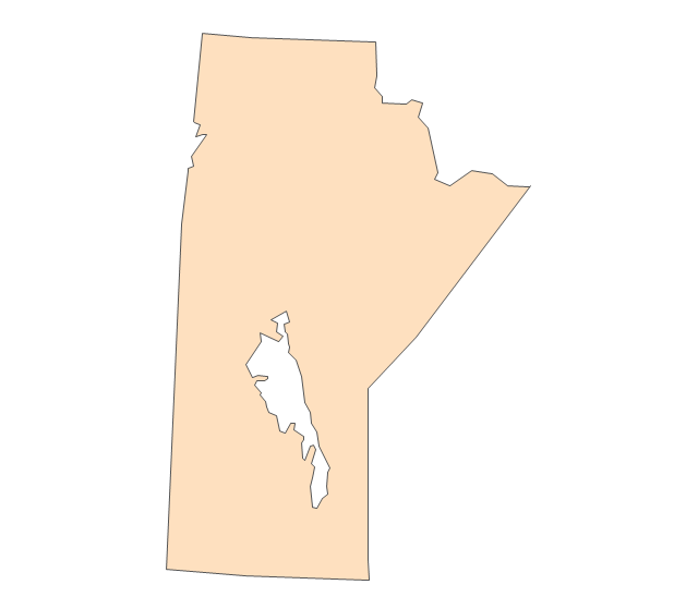
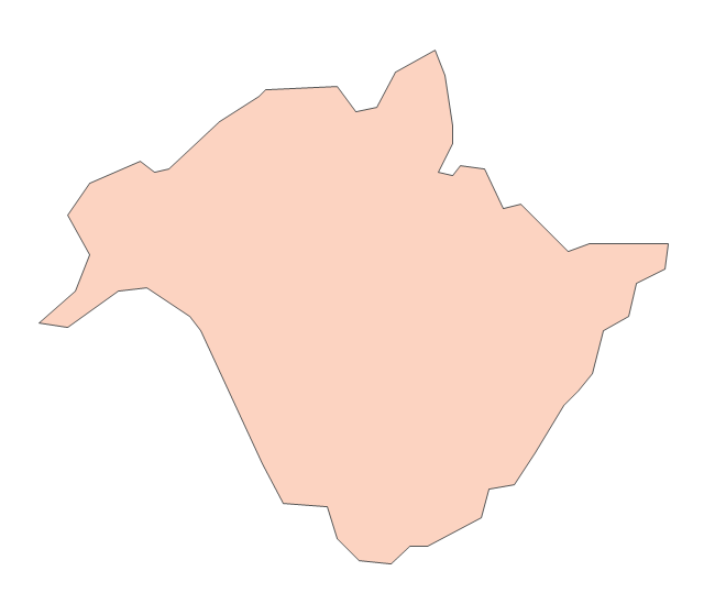
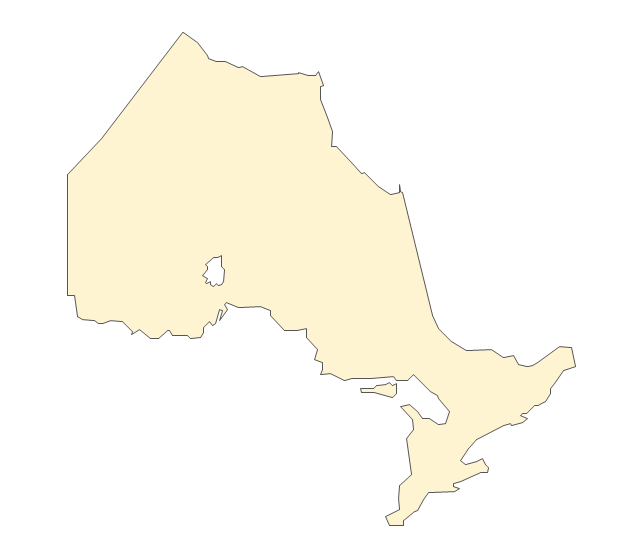
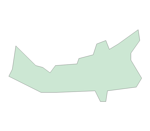
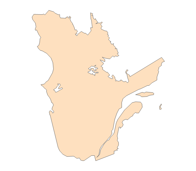
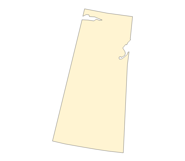
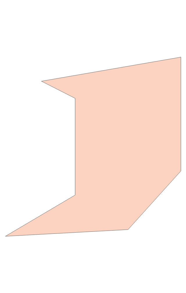
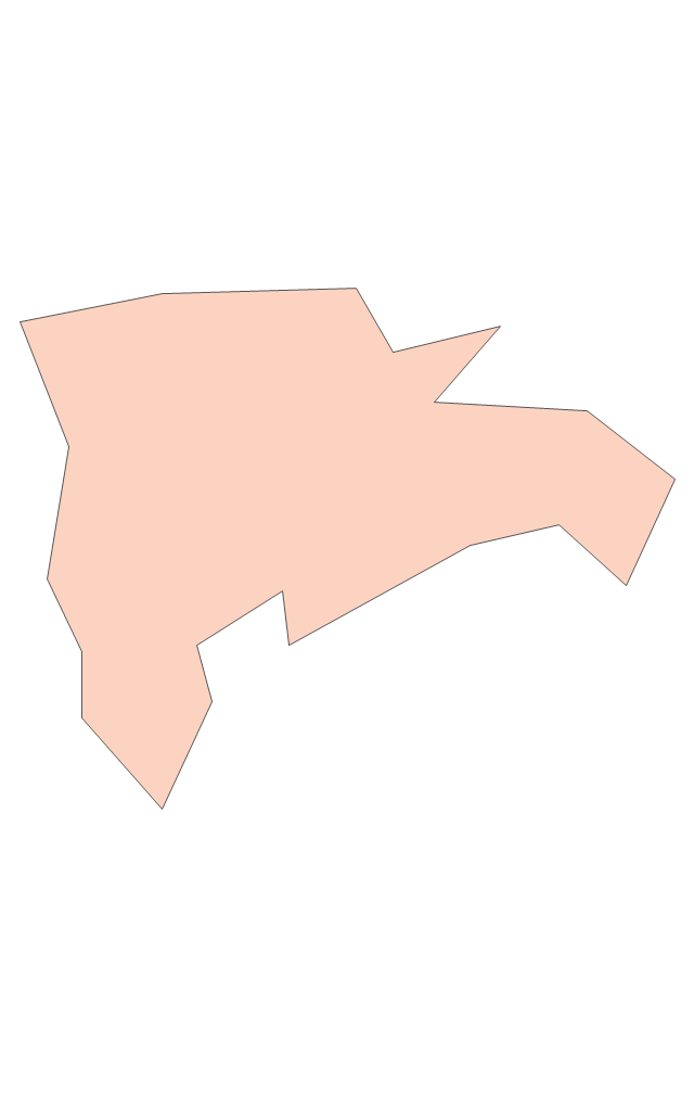
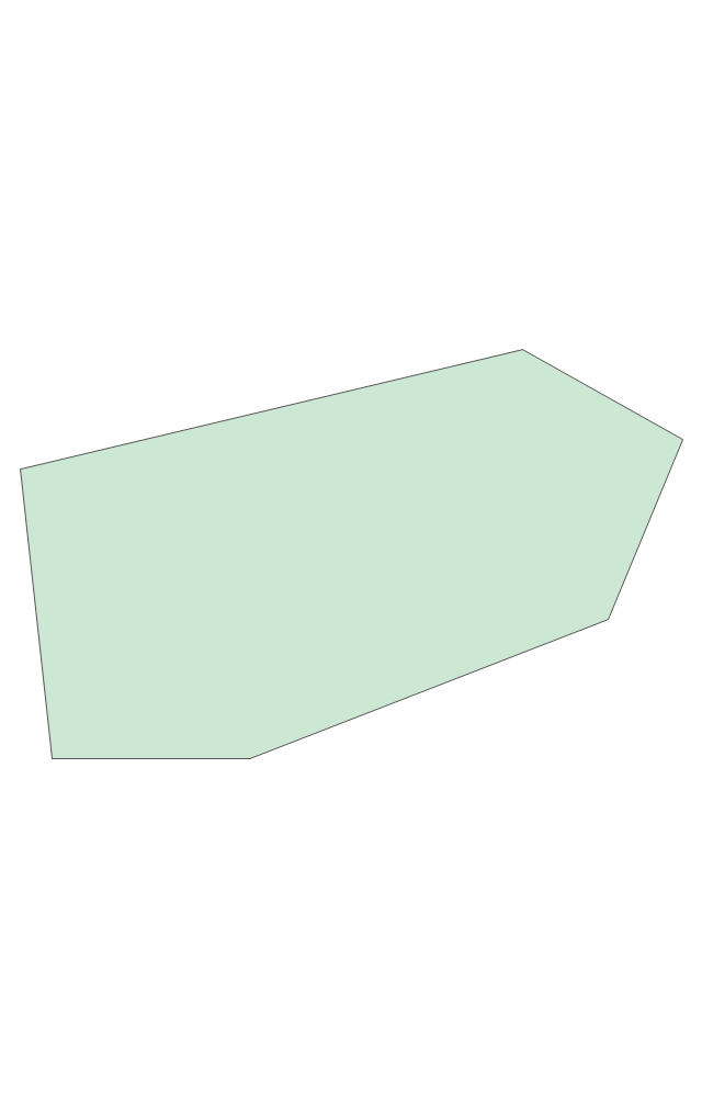
The vector stencils library "Canada" contains 15 map contours for drawing thematic maps of Canada. Use it for visual representation of geospatial information, statistics and quantitative data.
"The provinces and territories of Canada combine to make up the world's second-largest country by area. Originally three provinces of British North America, New Brunswick, Nova Scotia and the Province of Canada (which would become Ontario and Quebec) united to form the new nation. Since then, Canada's external borders have changed several times, and has grown from four initial provinces to ten provinces and three territories as of 1999. The ten provinces are Alberta, British Columbia, Manitoba, New Brunswick, Newfoundland and Labrador, Nova Scotia, Ontario, Prince Edward Island, Quebec, and Saskatchewan. The three territories are Northwest Territories, Nunavut, and Yukon." [Provinces and territories of Canada. Wikipedia]
The map contours example "Canada - Vector stencils library" was created using the ConceptDraw PRO diagramming and vector drawing software extended with the Continent Maps solution from the Maps area of ConceptDraw Solution Park.
Canada
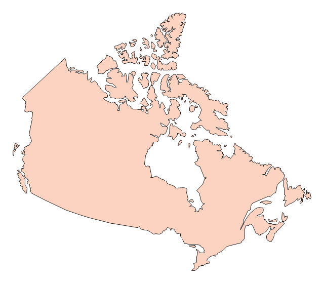
Canada (color)
-canada---vector-stencils-library.png--diagram-flowchart-example.png)
Alberta
British Columbia
Manitoba
New Brunswick
Newfoundland and Labrador
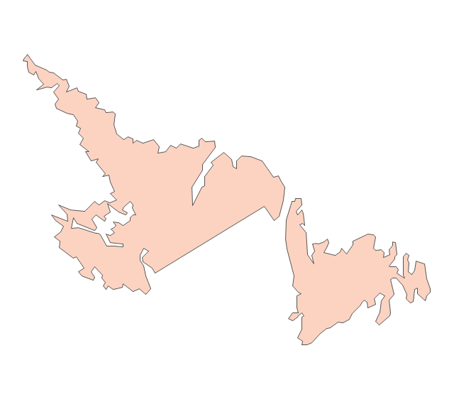
Northwest Territories
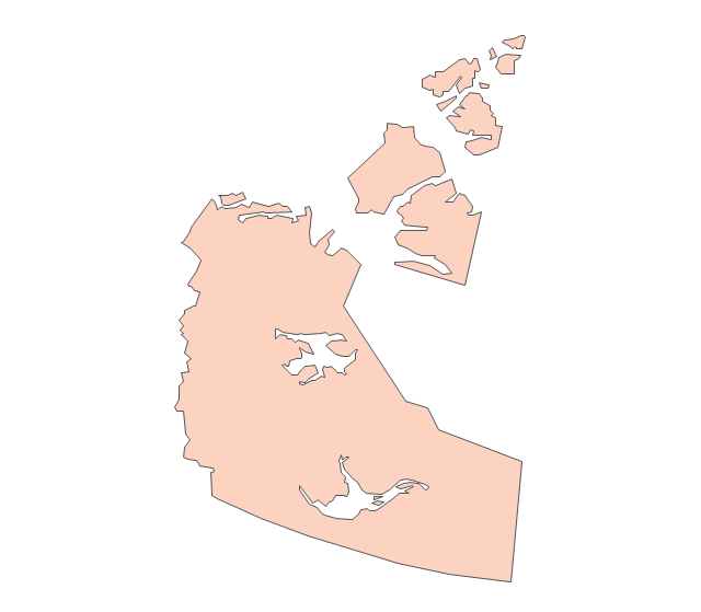
Nova Scotia
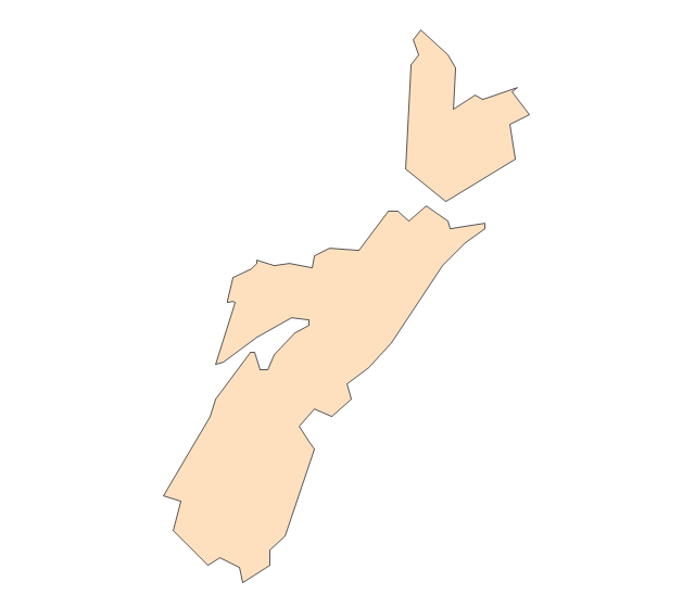
Nunavut
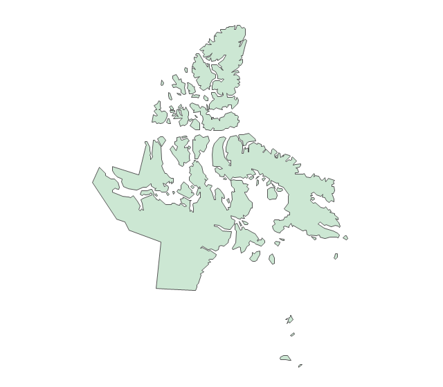
Ontario
Prince Edward Island
Quebec
Saskatchewan
Yukon
Geo Map - Europe - Russia

Geo Map - Europe - Netherlands

Geo Map - Europe - Serbia

Geo Map - Asia - Malaysia

The vector stencils library Malaysia contains contours for ConceptDraw PRO diagramming and vector drawing software. This library is contained in the Continent Maps solution from Maps area of ConceptDraw Solution Park.
Geo Map - Asia - South Korea

The vector stencils library South Korea contains contours for ConceptDraw PRO diagramming and vector drawing software. This library is contained in the Continent Maps solution from Maps area of ConceptDraw Solution Park.
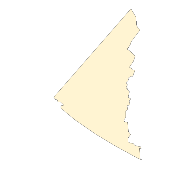
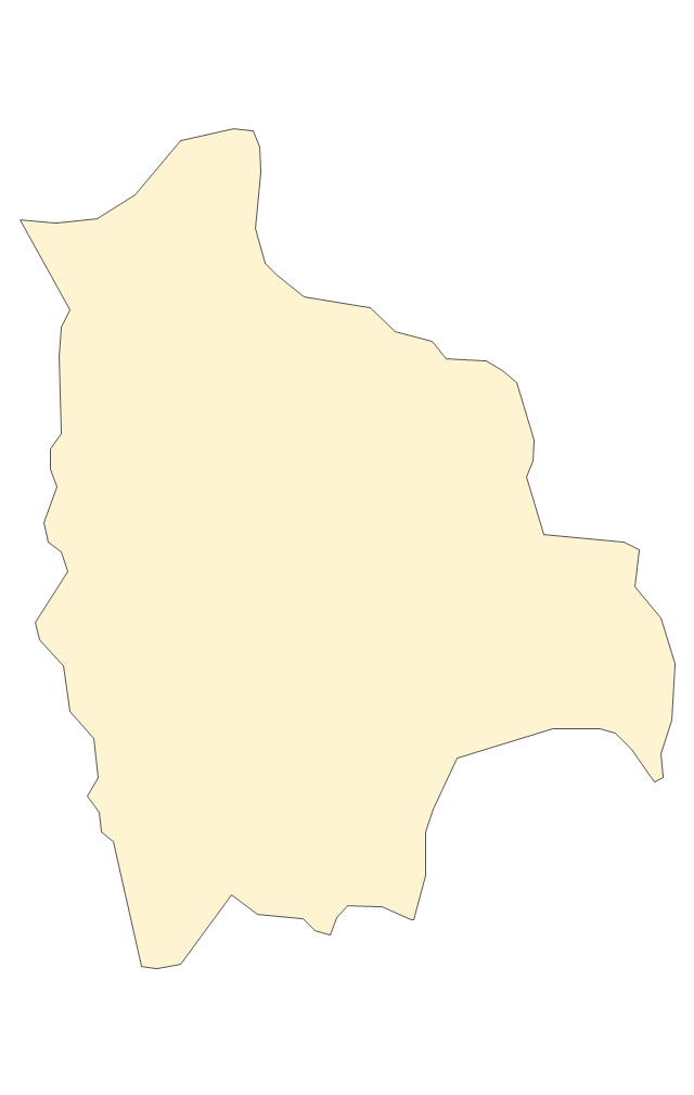
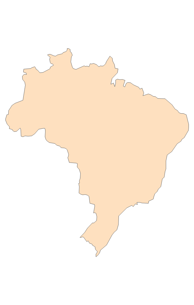
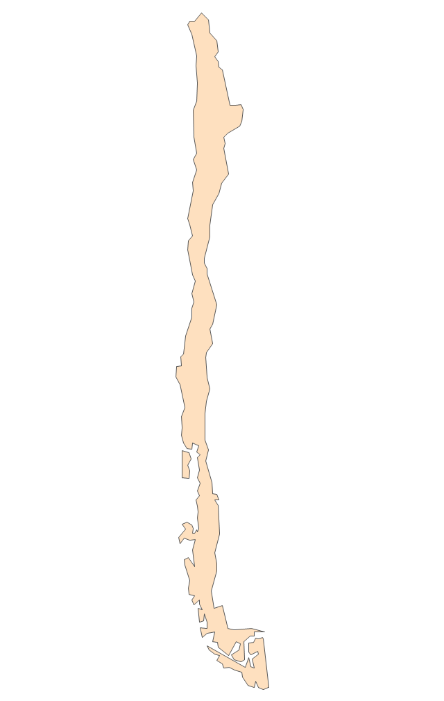
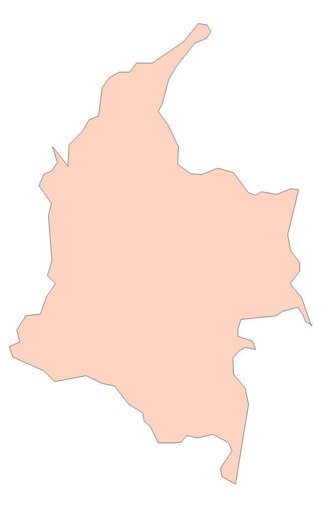
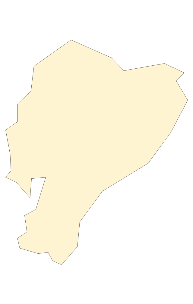
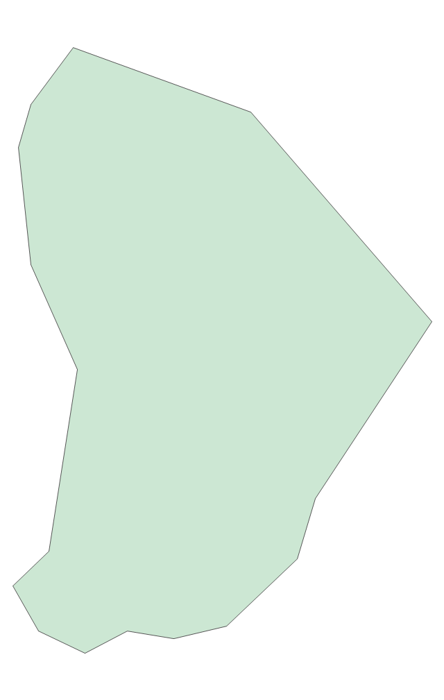
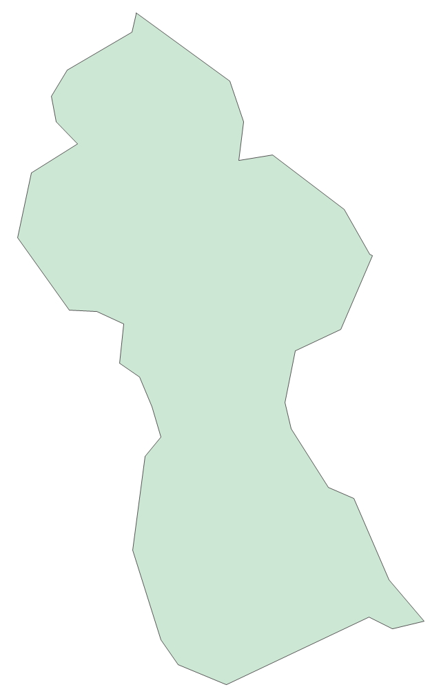
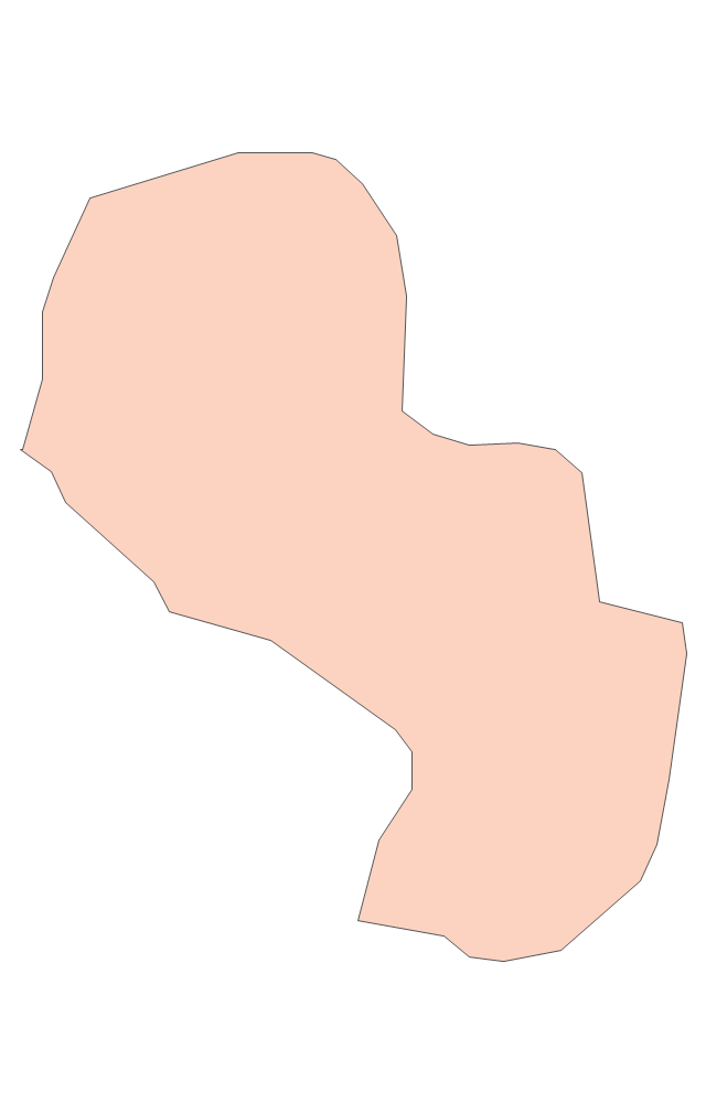
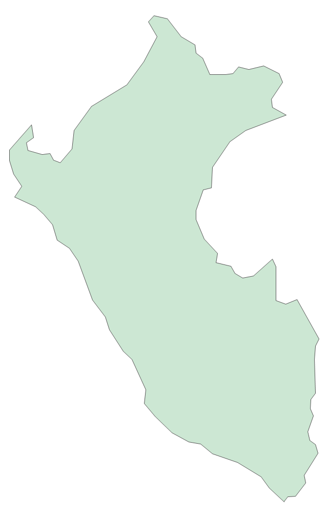
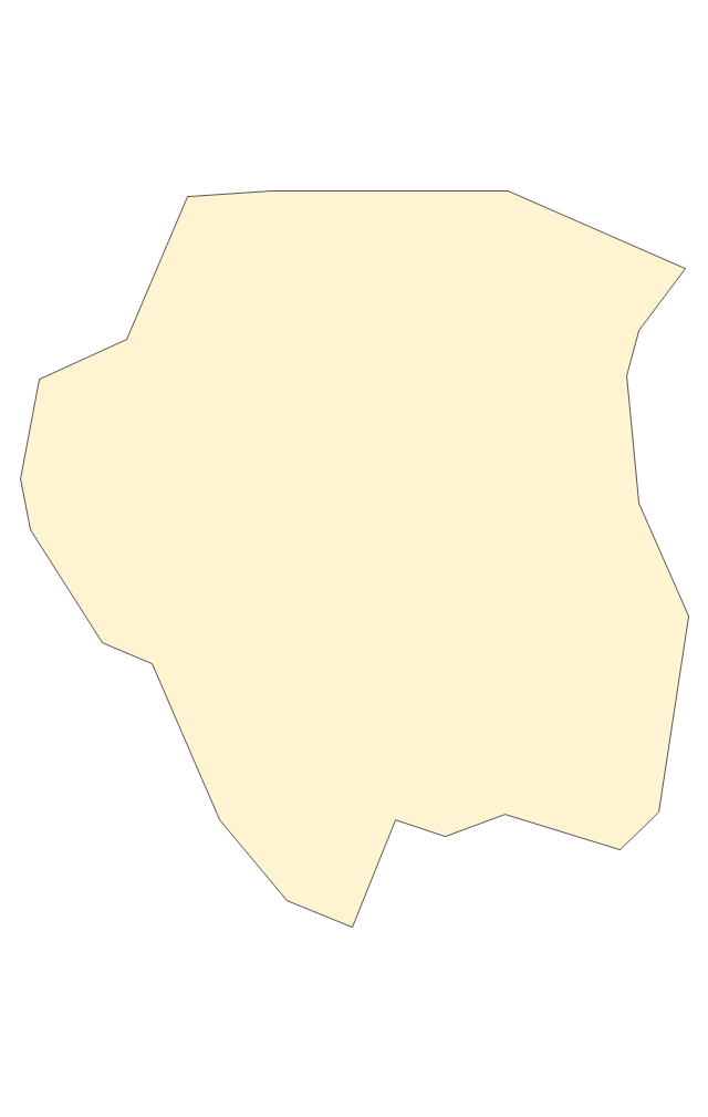
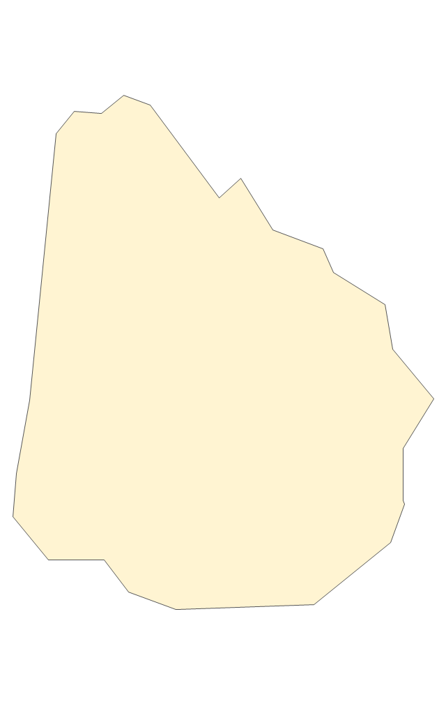
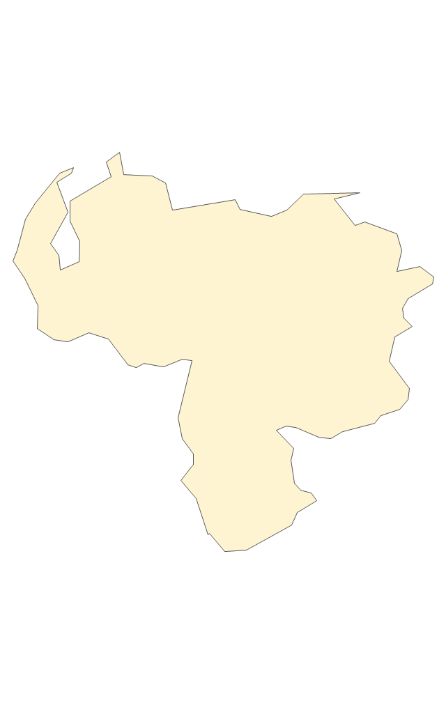
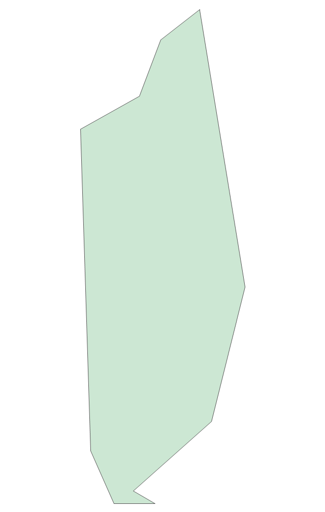
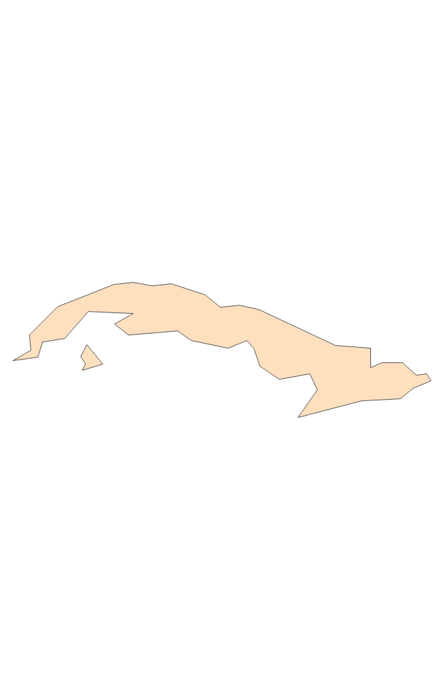
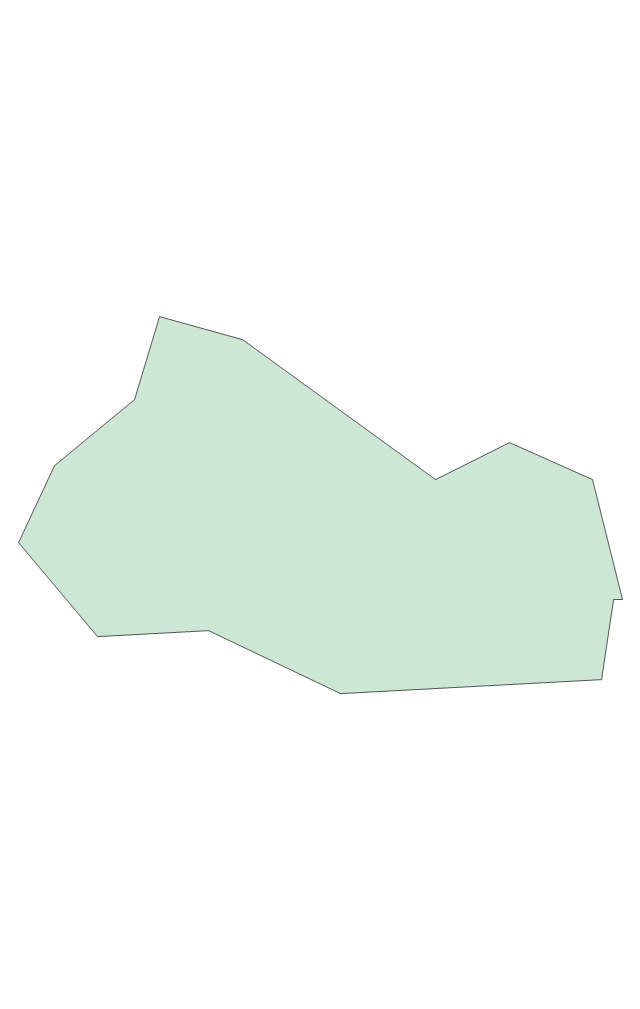
The vector stencils library "South America" contains 29 state map contours for drawing thematic maps of South America. Use it for visual representation of geospatial information, statistics and quantitative data.
"South America is a continent located in the Western Hemisphere, mostly in the Southern Hemisphere, with a relatively small portion in the Northern Hemisphere. ...
It is bordered on the west by the Pacific Ocean and on the north and east by the Atlantic Ocean; North America and the Caribbean Sea lie to the northwest. It includes twelve sovereign states - Argentina, Bolivia, Brazil, Chile, Colombia, Ecuador, Guyana, Paraguay, Peru, Suriname, Uruguay, and Venezuela - and two non-sovereign areas - French Guiana, an overseas department of France, and the Falkland Islands, a British Overseas Territory (nonetheless claimed by Argentina). In addition to this, the ABC islands of the Netherlands may also be considered part of South America." [South America. Wikipedia]
The state map contours example "South America - Vector stencils library" was created using the ConceptDraw PRO diagramming and vector drawing software extended with the Continent Maps solution from the Maps area of ConceptDraw Solution Park.
South America
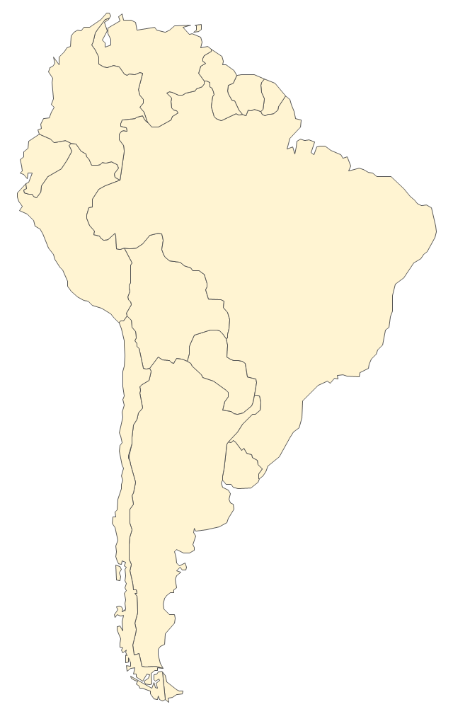
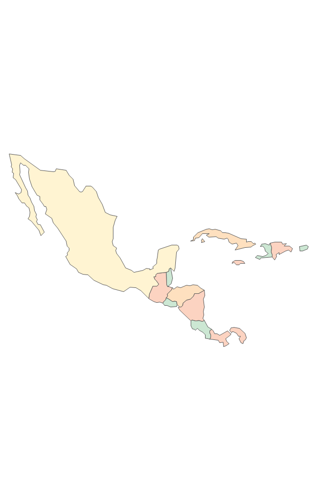
Central America
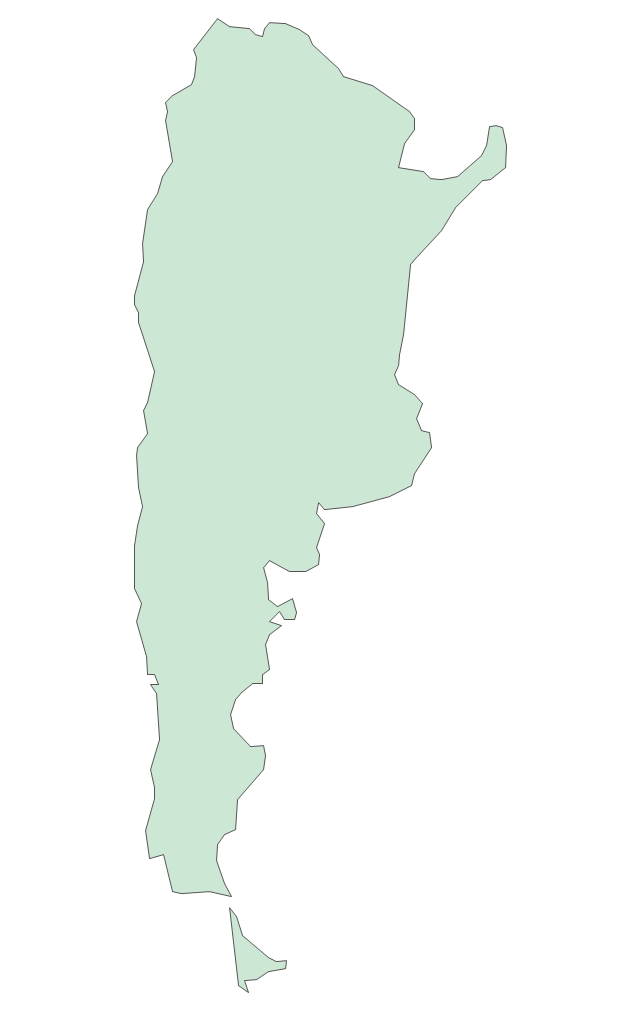
Argentina
Bolivia
Brazil
Chile
Colombia
Ecuador
French Guiana
Guyana
Paraguay
Peru
Suriname
Uruguay
Venezuela
Trinidad and Tobago
Belize
Costa Rica
Cuba
Dominican Republic
El Salvador
Guatemala
Haiti
Honduras
Jamaica
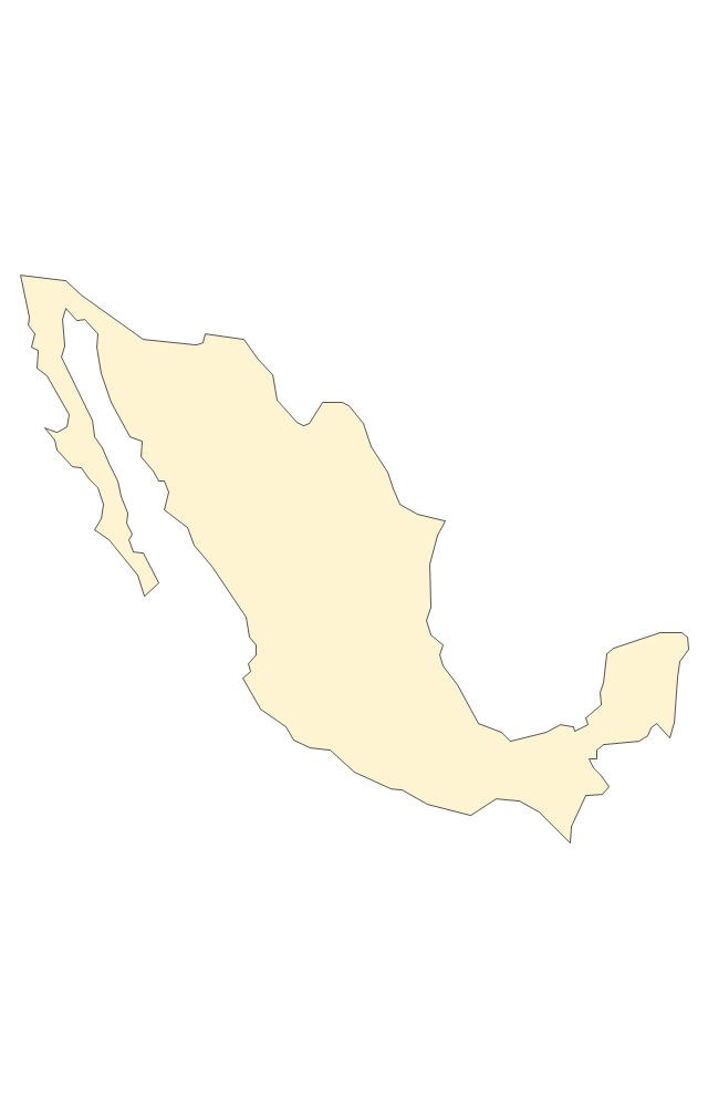
Mexico
Nicaragua
Panama
Puerto Rico
The vector stencils library "Asia" contains 57 Asian state map contours for drawing thematic and political maps of Asia. Use it for visual representation of geospatial information, statistics and quantitative data.
"Asia is the Earth's largest and most populous continent, located primarily in the eastern and northern hemispheres. ... Countries: 49 (and 5 disputed)." [Asia. Wikipedia]
The state map contours example "Asia - Vector stencils library" was created using the ConceptDraw PRO diagramming and vector drawing software extended with the Continent Maps solution from the Maps area of ConceptDraw Solution Park.
"Asia is the Earth's largest and most populous continent, located primarily in the eastern and northern hemispheres. ... Countries: 49 (and 5 disputed)." [Asia. Wikipedia]
The state map contours example "Asia - Vector stencils library" was created using the ConceptDraw PRO diagramming and vector drawing software extended with the Continent Maps solution from the Maps area of ConceptDraw Solution Park.
Asia
Central Asia
South Asia
East Asia
Southeast Asia
Afghanistan
Armenia
Azerbaijan
Bahrain
Bangladesh
Bhutan
Brunei
Burma (Myanmar)
Cambodia
China
Cyprus
Georgia
India
Indonesia
Iran
Iraq
Israel
Japan
Jordan
Kazakhstan
Kuwait
Kyrgyzstan
Laos
Lebanon
Malaysia
Maldives
Mongolia
Nepal
North Korea
Oman
Pakistan
Papua New Guinea
Philippines
Qatar
Russia (Asia)
Saudi Arabia
Singapore
South Korea
Sri Lanka
Syria
Taiwan
Tajikistan
Thailand
Turkey
Turkmenistan
United Arab Emirates
Uzbekistan
Vietnam
Yemen
Aral Sea
Caspian Sea
Lake Balkhash
The vector stencils library "Packaging, loading, customs" contains 28 clipart images of packing materials and packaging equipment for drawing illustrations.
"Packaging is the technology of enclosing or protecting products for distribution, storage, sale, and use. Packaging also refers to the process of design, evaluation, and production of packages. Packaging can be described as a coordinated system of preparing goods for transport, warehousing, logistics, sale, and end use. Packaging contains, protects, preserves, transports, informs, and sells. In many countries it is fully integrated into government, business, institutional, industrial, and personal use." [Packaging and labeling. Wikipedia]
The clip art example "Packaging, loading, customs - Vector stencils library" was created in ConceptDraw PRO diagramming and vector drawing software using the Manufacturing and Maintenance solution from the Illustration area of ConceptDraw Solution Park.
"Packaging is the technology of enclosing or protecting products for distribution, storage, sale, and use. Packaging also refers to the process of design, evaluation, and production of packages. Packaging can be described as a coordinated system of preparing goods for transport, warehousing, logistics, sale, and end use. Packaging contains, protects, preserves, transports, informs, and sells. In many countries it is fully integrated into government, business, institutional, industrial, and personal use." [Packaging and labeling. Wikipedia]
The clip art example "Packaging, loading, customs - Vector stencils library" was created in ConceptDraw PRO diagramming and vector drawing software using the Manufacturing and Maintenance solution from the Illustration area of ConceptDraw Solution Park.
Cardboard box
Cardboard box (open)
Paper bag
Woodgrain barrel
Barrel
Crate
Container
Handcart with cardboard box
Flatbed trolley
Hand truck
Porter
Gantry crane
Jib crane
Level luffing crane
Deck crane
Packaging
Packaging machine
Packing conveyor
Vacuum packaging machine
State border sign
Border checkpoint
Customs sign
Border control
Port of entry office
Customs officer
Stocker with cardboard boxes
Warehouse workers
Pallet jack
Geo Map - Europe - Norway

Geo Map - Africa - Namibia

The vector stencils library Namibia contains contours for ConceptDraw PRO diagramming and vector drawing software. This library is contained in the Continent Maps solution from Maps area of ConceptDraw Solution Park.
Geo Map - USA - Arizona

The vector stencils library Arizona contains contours for ConceptDraw PRO diagramming and vector drawing software. This library is contained in the Continent Maps solution from Maps area of ConceptDraw Solution Park.
Geo Map - Asia - Oman

The vector stencils library Oman contains contours for ConceptDraw PRO diagramming and vector drawing software. This library is contained in the Continent Maps solution from Maps area of ConceptDraw Solution Park.
- Border checkpoint
- Asia - Vector stencils library
- How to Create a BPMN Diagram Using Border Events | Packaging ...
- Presentation Clipart | Business and Finance | Design elements ...
- Canada - Vector stencils library
- Illustration | Basic Diagramming | Presentation Clipart | How To ...
- South America - Vector stencils library
- Asia - Vector stencils library
- Asia - Vector stencils library
- Asia - Vector stencils library
- Circle-spoke diagram template | Target and Circular Diagrams ...
- Target market - Onion diagram | Foreign trade - Onion diagram ...
- Foreign trade - Onion diagram | Settlement Process Flowchart ...
- Canada political map | Canada regions map | 2009 flu pandemic in ...
- EU 28: Candidate countries map | Geo Map - Australia - New ...
- Presentation Clipart | Design elements - Presentation | Illustration ...
- Conceptdraw.com: Mind Map Software, Drawing Tools | Project ...
- Geo Map - Asia - Turkey | Geo Map - Europe - Russia | Geo Map ...
- Design elements - Trees and plants | Design elements - Site ...
- Aerospace Clipart | Aerospace and Transport | Aerospace - Design ...
- ERD | Entity Relationship Diagrams, ERD Software for Mac and Win
- Flowchart | Basic Flowchart Symbols and Meaning
- Flowchart | Flowchart Design - Symbols, Shapes, Stencils and Icons
- Flowchart | Flow Chart Symbols
- Electrical | Electrical Drawing - Wiring and Circuits Schematics
- Flowchart | Common Flowchart Symbols
- Flowchart | Common Flowchart Symbols