Geo Map - Europe - Sweden

The vector stencils library "European country flags" contains 51 clipart images of Europe state flags.
Use the European country flags clip art to illustrate your business documents, presentation slides, web pages, geo maps and infographics.
The clip art example "European country flags - Vector stencils library" was created using the ConceptDraw PRO diagramming and vector drawing software extended with the Artwork solution from the Illustration area of ConceptDraw Solution Park.
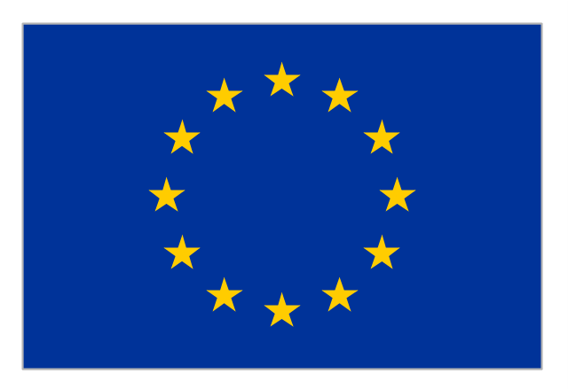
Flag of Europe
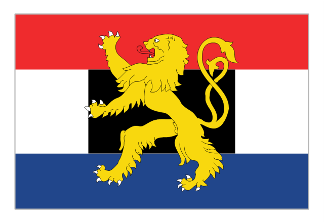
Flag of Benelux
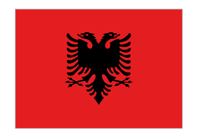
Flag of Albania
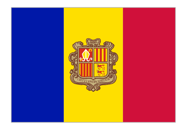
Flag of Andorra
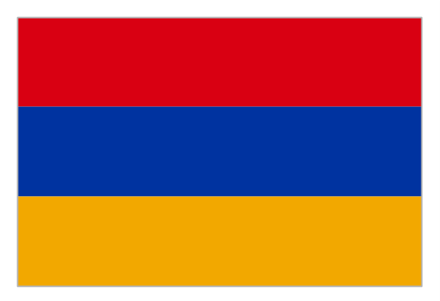
Flag of Armenia
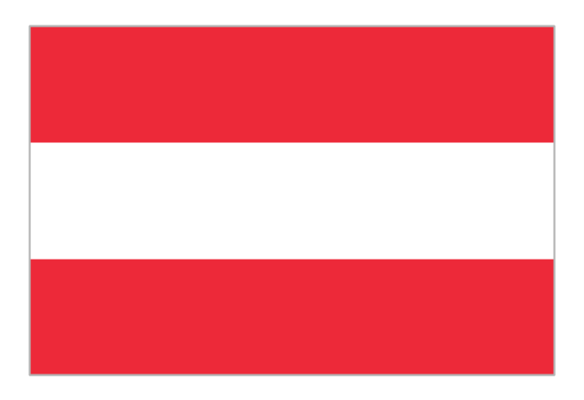
Flag of Austria
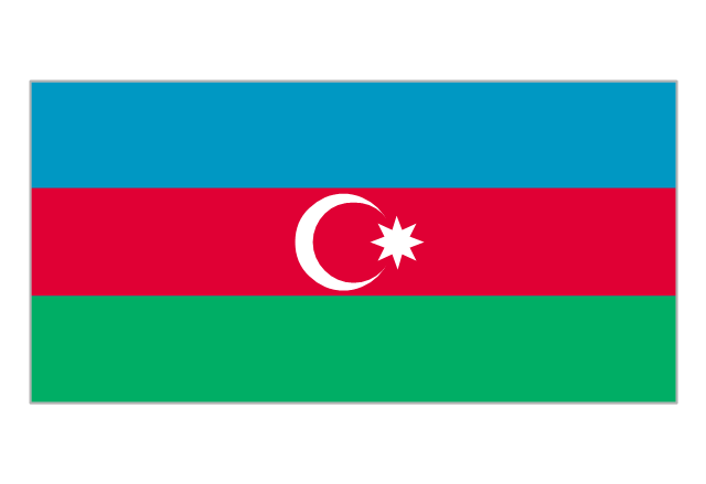
Flag of Azerbaijan
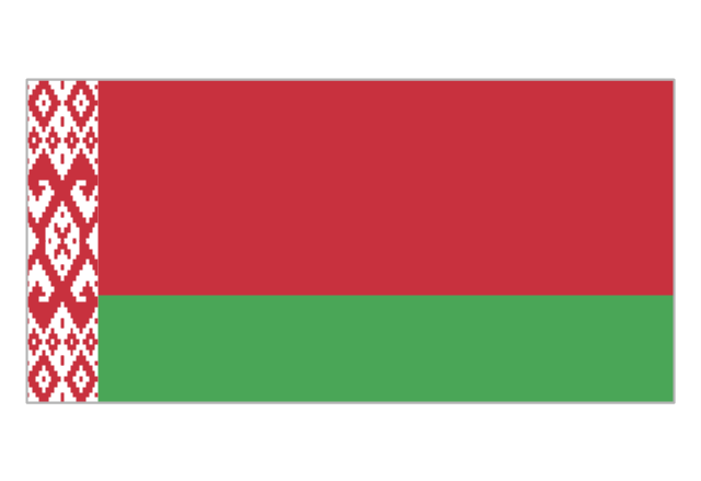
Flag of Belarus
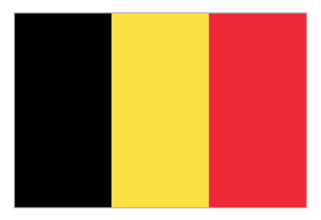
Flag of Belgium
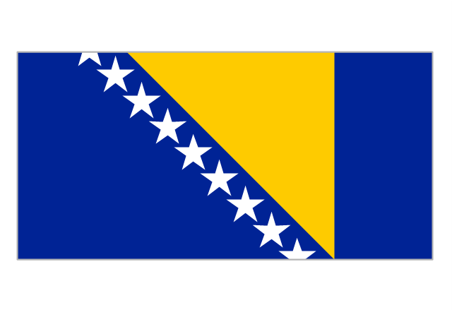
Flag of Bosnia and Herzegovina
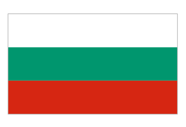
Flag of Bulgaria
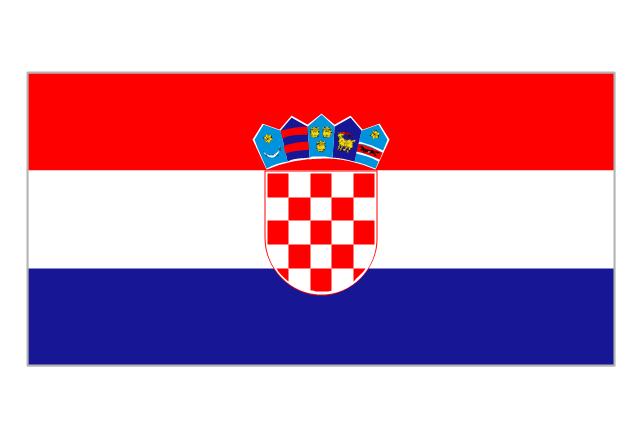
Flag of Croatia
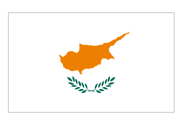
Flag of Cyprus
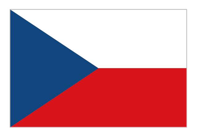
Flag of Czech Republic
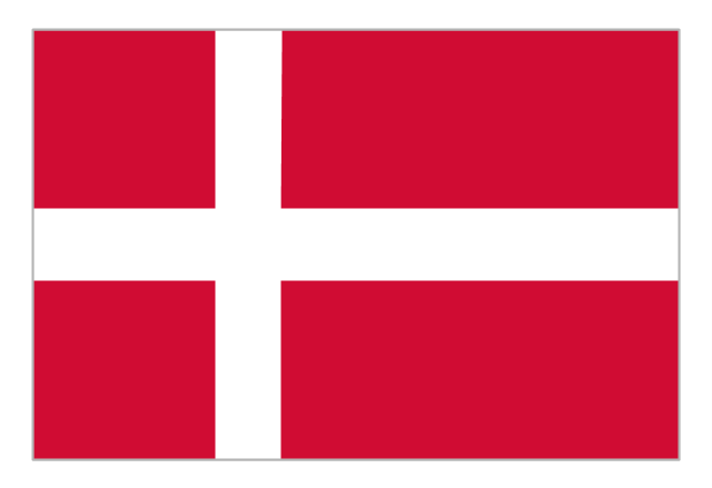
Flag of Denmark
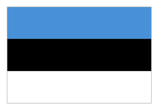
Flag of Estonia
Flag of Finland
Flag of France
Flag of Georgia
Flag of Germany
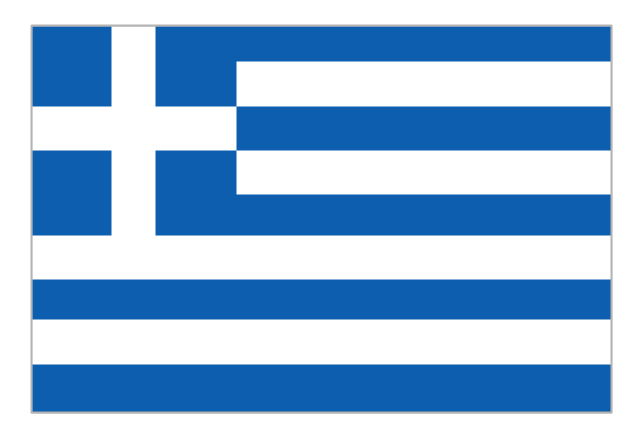
Flag of Greece
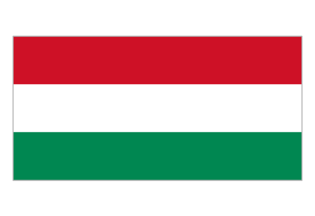
Flag of Hungary
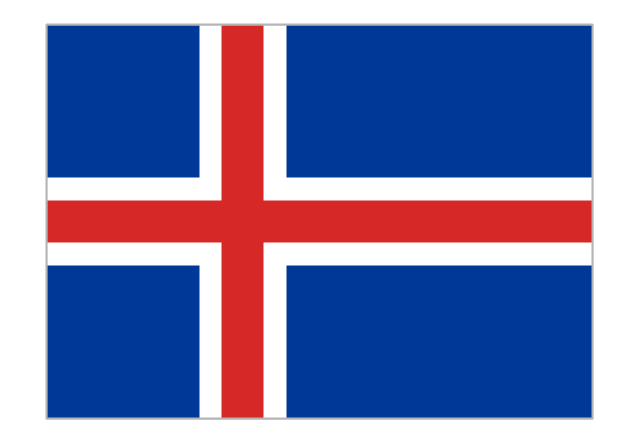
Flag of Iceland
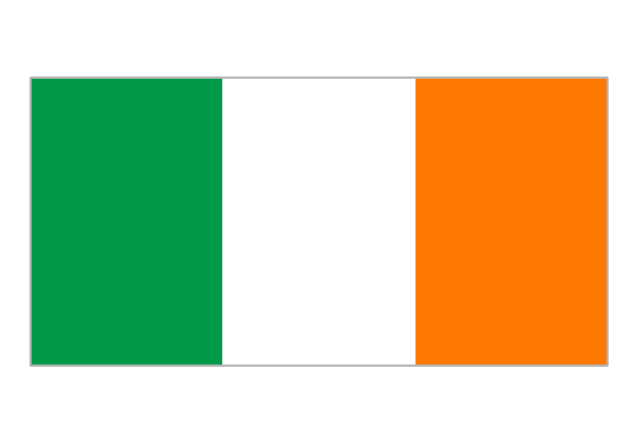
Flag of Ireland
Flag of Italy
Flag of Kazakhstan
Flag of Latvia

Flag of Liechtenstein
Flag of Lithuania
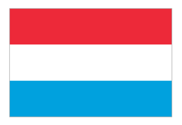
Flag of Luxembourg
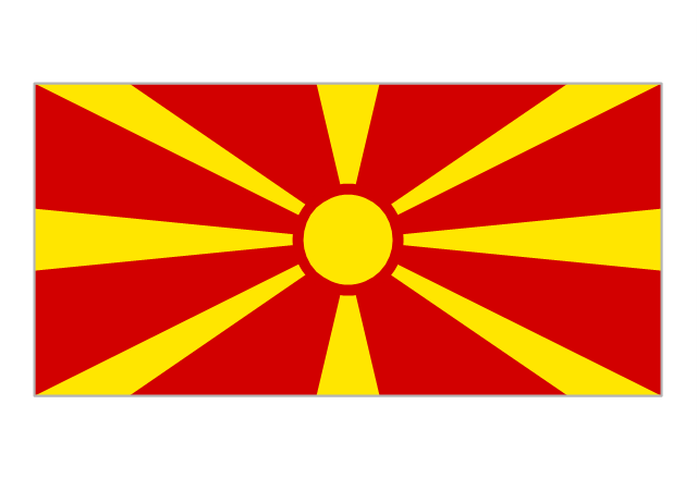
Flag of the Republic of Macedonia
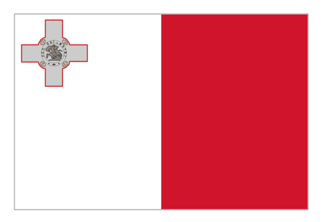
Flag of Malta
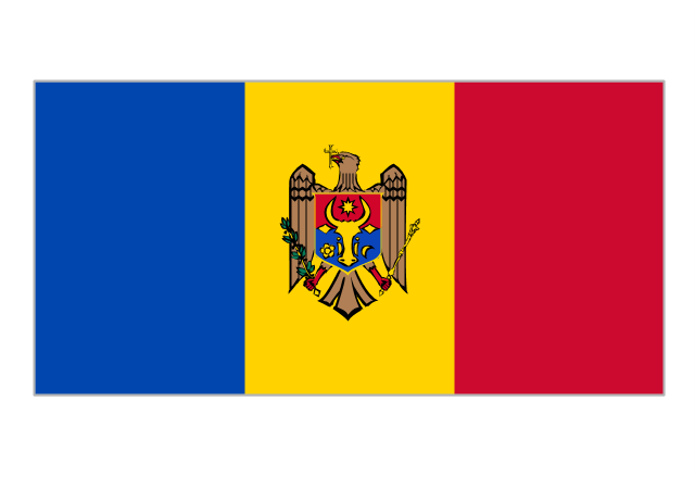
Flag of Moldova
Flag of Monaco
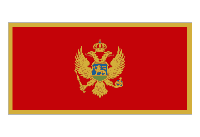
Flag of Montenegro
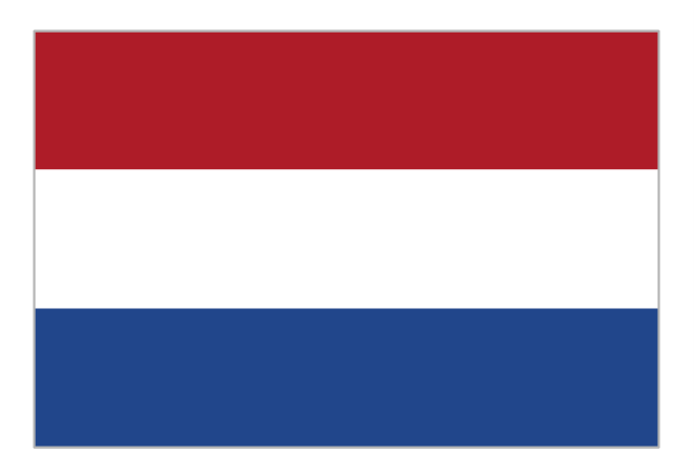
Flag of the Netherlands
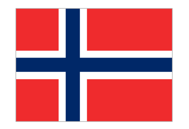
Flag of Norway
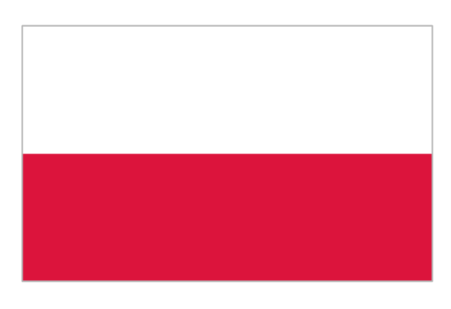
Flag of Poland
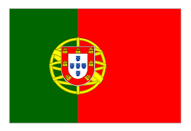
Flag of Portugal
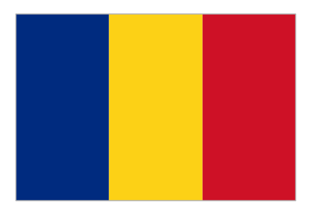
Flag of Romania
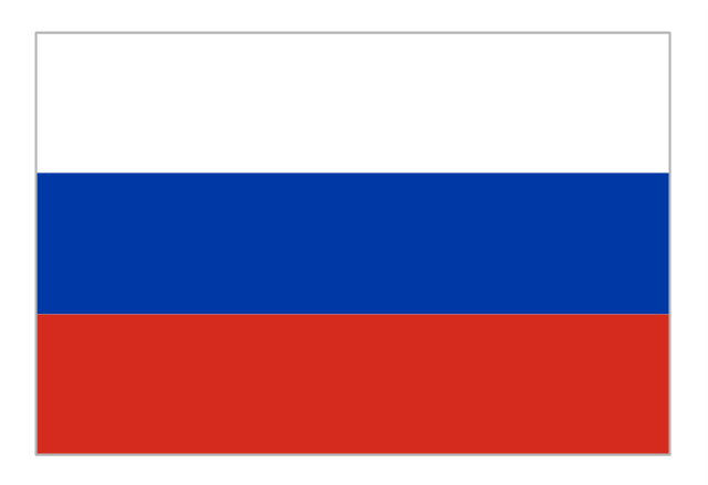
Flag of Russia
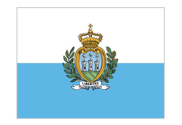
Flag of San Marino
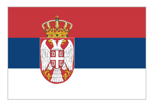
Flag of Serbia
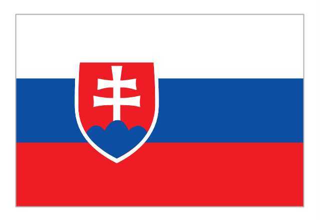
Flag of Slovakia
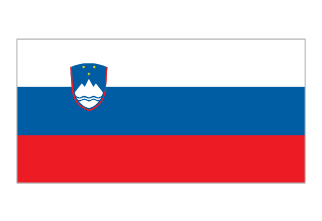
Flag of Slovenia
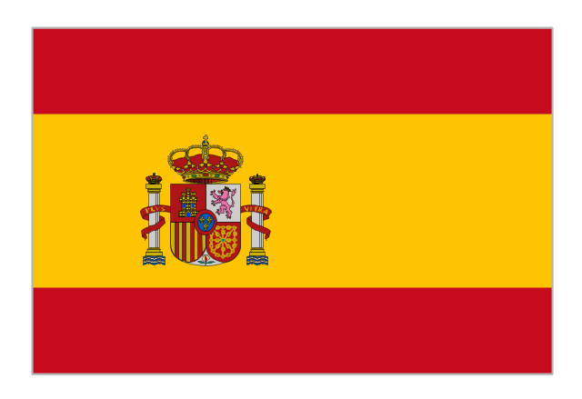
Flag of Spain
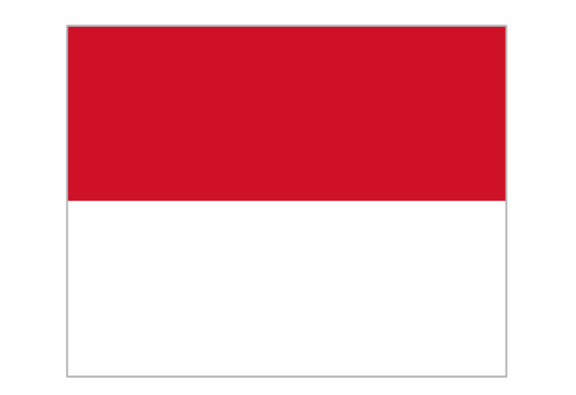
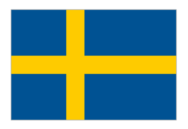
Flag of Sweden
Flag of Switzerland

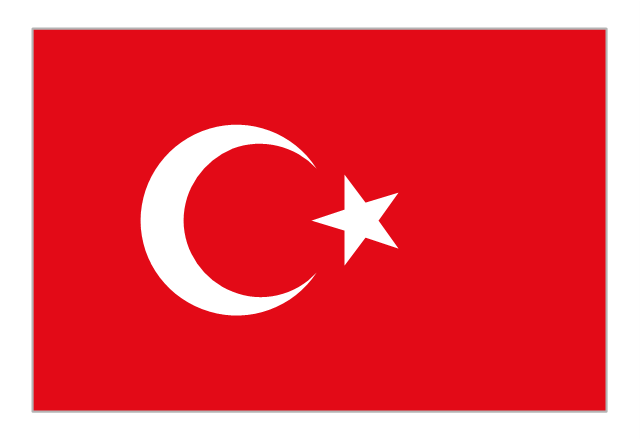
Flag of Turkey
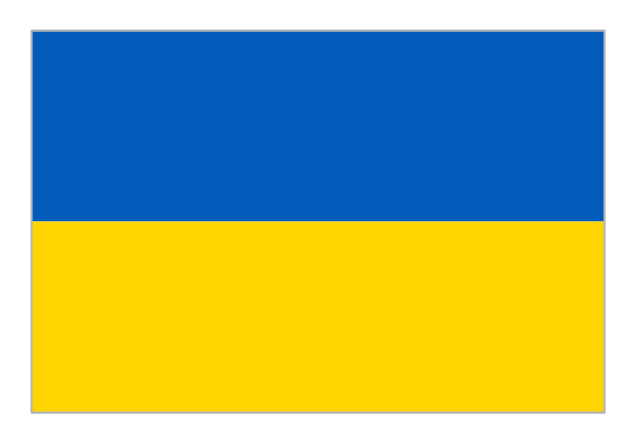
Flag of Ukraine
Flag of the United Kingdom
The vector stencils library "Education maps" contains 44 state map contours with capitals and major cities: G-20 state maps, EU state maps and world map.
Use it to visualize geospatial information in your education infograms.
"The European Union (EU) is a politico-economic union of 28 member states that are primarily located in Europe: Austria, Belgium, Bulgaria, Croatia, Cyprus, Czech Republic, Denmark, Estonia, Finland, France, Germany, Greece, Hungary, Ireland, Italy, Latvia, Lithuania, Luxembourg, Malta, Netherlands, Poland, Portugal, Romania, Slovakia, Slovenia, Spain, Sweden, United Kingdom." [European Union. Wikipedia]
The European Union map contours example "Design elements - Education maps (EU)" was created using the ConceptDraw PRO diagramming and vector drawing software extended with the Education Infographics solition from the area "Business Infographics" in ConceptDraw Solution Park.
European Union state map contours
.png--diagram-flowchart-example.png)
Geo Map - Europe - Estonia

Geo Map - Europe - Denmark

Geo Map - Europe - Norway

"Alphabetical list of subregions in the United Nations geoscheme for Europe.
Eastern Europe: Belarus, Bulgaria, Czech Republic, Hungary, Moldova, Poland, Romania, Russia, Slovakia, Ukraine.
Northern Europe: Åland Islands, Denmark, Estonia, Faroe Islands, Finland, Guernsey, Iceland, Ireland, Isle of Man, Jersey, Latvia, Lithuania, Norway, Svalbard and Jan Mayen, Sweden, United Kingdom.
Southern Europe: Albania, Andorra, Bosnia and Herzegovina, Croatia, Gibraltar, Greece, Italy, Malta, Montenegro, Portugal, Macedonia, San Marino, Serbia, Slovenia, Spain, Vatican City.
Western Europe: Austria, Belgium, France, Germany, Liechtenstein, Luxembourg, Monaco, Netherlands, Switzerland." [United Nations geoscheme for Europe. Wikipedia]
The example "Political map of Europe" illustrated with European state flags was created using the ConceptDraw PRO diagramming and vector drawing software extended with the Continent Maps solution from the Maps area of ConceptDraw Solution Park.
Political map - Europe

Geo Map - Europe - Latvia

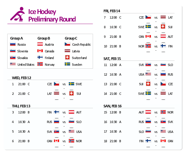
The example "Sochi 2014 Olympics - Men’s hockey tournament schedule" represent Ice Hockey schedule of XXII Olympic Winter Games according to Sochi2014.com website. [sochi2014.com/ en/ ice-hockey-schedule-and-results]
"The 2014 Winter Olympics, officially the XXII Olympic Winter Games, or the 22nd Winter Olympics, are scheduled to take place from 6 to 23 February 2014, in Sochi, Russia, with some events held in the resort town of Krasnaya Polyana. Ninety-eight events in fifteen winter sports will be held. Both the Olympics and 2014 Winter Paralympics are being organized by the Sochi Organizing Committee (SOC). ...
The events of the 2014 Winter Olympics will be held around two clusters of new venues; an Olympic Park was constructed in the Imeretinsky Valley on the coast of the Black Sea, with Fisht Olympic Stadium and the Games' indoor venues located within walking distance, and snow events will be held at Krasnaya Polyana." [2014 Winter Olympics. Wikipedia]
The example "Sochi 2014 Olympics - Men’s hockey tournament schedule" was created using the ConceptDraw PRO diagramming and vector drawing software extended with the Winter Sports solution. The Winter Sports solution from the Sport area of ConceptDraw Solution Park contains the vector stencils library "Winter sports pictograms" and examples of diagrams and infographics.
Men’s hockey tournament schedule
Geo Map - Europe - Lithuania

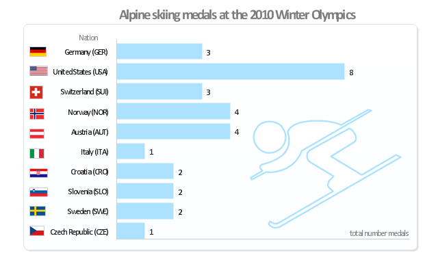
"Alpine skiing at the 2010 Winter Olympics was held at Whistler Creekside in Whistler, British Columbia, Canada. The ten events were scheduled for 13–27 February, 2010; weather delayed the first event, the men's downhill, two days until Monday, 15 February. ... Notably absent from the medals in these Olympics were the Austrian men, who had won 8 medals in 2006 and 7 in 2002. France and host Canada were shut out from the podium, as were the German men and the Swiss and Italian women. The U.S. had its best Olympics ever with eight alpine medals, only the fourth nation to achieve that total in a single Olympics (Austria, France, Switzerland). Individually, three men and five women won multiple medals; triple medalists were Bode Miller of the U.S. and Aksel Lund Svindal of Norway, who both won a medal of each color. The sole double gold medalist was Maria Riesch of Germany." [Alpine skiing at the 2010 Winter Olympics. wikipedia]
This medal bar chart example "Alpine skiing at the 2010 Winter Olympics" was created using the ConceptDraw PRO diagramming and vector drawing software extended with the Winter Sports solution.
The Winter Sports solution from the Sport area of ConceptDraw Solution Park contains the vector stencils library "Winter sports pictograms" and examples of diagrams and infographics.
Medal bar chart
Geo Map - Europe - Finland

Geo Map - Asia - Indonesia

The vector stencils library Indonesia contains contours for ConceptDraw PRO diagramming and vector drawing software. This library is contained in the Continent Maps solution from Maps area of ConceptDraw Solution Park.
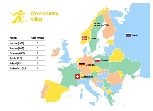
"The cross-country skiing competition of the 2010 Winter Olympics in Vancouver were held at Whistler Olympic Park. The events were held between 15 and 28 February 2010. ...
Across the twelve cross-country skiing events, a maximum of 310 athletes are allowed to compete. No nation can have more than 20 skiers competing, with an additional limit of 12 men or 12 women per specific nation. For each event, a nation can enter four skiers in individual events and one team in relay races." [Cross-country skiing at the 2010 Winter Olympics. Wikipedia]
The Europe map example "Cross-country skiing gold medals - 2010 Winter Olympics" is created using the ConceptDraw PRO diagramming and vector drawing software extended with the Winter Sports solution.
The Winter Sports solution from the Sport area of ConceptDraw Solution Park contains the vector stencils library "Winter sports pictograms" and examples of diagrams and infographics.
Infographics
Geo Map - Europe - Greece

The vector stencils library Greece contains contours for ConceptDraw PRO diagramming and vector drawing software. This library is contained in the Continent Maps solution from Maps area of ConceptDraw Solution Park.
- Croatia World Map Wiki
- Flag of Sweden
- European membership of the EU and NATO map | Design elements ...
- Political map of Europe | Political Compass Sweden
- Design elements - Education maps (EU) | European membership of ...
- European membership of the EU and NATO map | Geo Map ...
- Map Of Europe Wikipedia
- Geo Map - Europe
- Geo Map - Europe - Netherlands | Map of South America - The ...
- Geo Map - Europe | European membership of the EU and NATO ...
- European membership of the EU and NATO map | Exploded pie ...
- Geo Map - Europe - Finland | Geo Map - Europe - Sweden | Geo ...
- European membership of the EU and NATO map | EU 28: Candidate ...
- EU 28: Candidate countries map | European membership of the EU ...
- Design elements - Continental map | European membership of the ...
- Geo Map - Europe - Sweden | Europe flags - Stencils library | Geo ...
- Political map of Europe | Continent Maps | European membership of ...
- European membership of the EU and NATO map | Geo Map ...
- European membership of the EU and NATO map | World Continents ...
- European membership of the EU and NATO map | Political map of ...
- ERD | Entity Relationship Diagrams, ERD Software for Mac and Win
- Flowchart | Basic Flowchart Symbols and Meaning
- Flowchart | Flowchart Design - Symbols, Shapes, Stencils and Icons
- Flowchart | Flow Chart Symbols
- Electrical | Electrical Drawing - Wiring and Circuits Schematics
- Flowchart | Common Flowchart Symbols
- Flowchart | Common Flowchart Symbols