Geo Map - Africa - Mali
Maps of Africa - Republic of Mali
"Mali, officially the Republic of Mali, is a landlocked country in West Africa. Mali is bordered by Algeria to the north, Niger to the east, Burkina Faso and Côte d'Ivoire to the south, Guinea to the south-west, and Senegal and Mauritania to the west. Its size is just over 1,240,000 square kilometres (480,000 sq mi) with a population of 14.5 million. Its capital is Bamako." [Mali. Wikipedia]
The vector stencils library Mali contains contours for ConceptDraw DIAGRAM diagramming and vector drawing software. This library is contained in the Continent Maps solution from Maps area of ConceptDraw Solution Park.

Use the Mali library to draw thematic maps, geospatial infographics and vector illustrations for your business documents, presentations and websites.
Geo Map - Africa - Republic of Mali
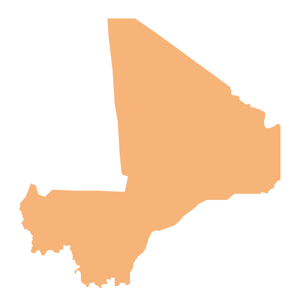
Geo Map - Africa - Mali Contour

Geo Map - Africa

Geo Map - Africa Contour

Geo Map - contours of Africa countries

See also Geo Maps of Africa Countries :
FIVE RELATED HOW TO's:
Western Sahara, is a disputed territory in the Maghreb region of North Africa, bordered by Morocco to the north, Algeria to the extreme northeast, Mauritania to the east and south, and the Atlantic Ocean to the west.
The vector stencils library Western Sahara contains contours for ConceptDraw DIAGRAM diagramming and vector drawing software. This library is contained in the Continent Maps solution from Maps area of ConceptDraw Solution Park.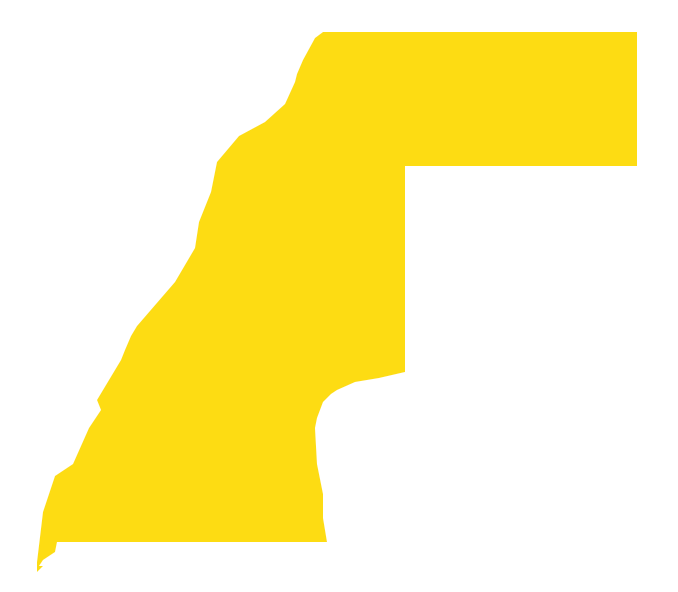
Picture: Geo Map - Africa - Western Sahara
Related Solution:
Chad, officially the Republic of Chad, is a landlocked country in Central Africa.
The vector stencils library Chad contains contours for ConceptDraw DIAGRAM diagramming and vector drawing software. This library is contained in the Continent Maps solution from Maps area of ConceptDraw Solution Park.
Picture: Geo Map - Africa - Chad
Related Solution:
Burkina Faso, is a landlocked country in West Africa.
The vector stencils library Burkina Faso contains contours for ConceptDraw DIAGRAM diagramming and vector drawing software. This library is contained in the Continent Maps solution from Maps area of ConceptDraw Solution Park.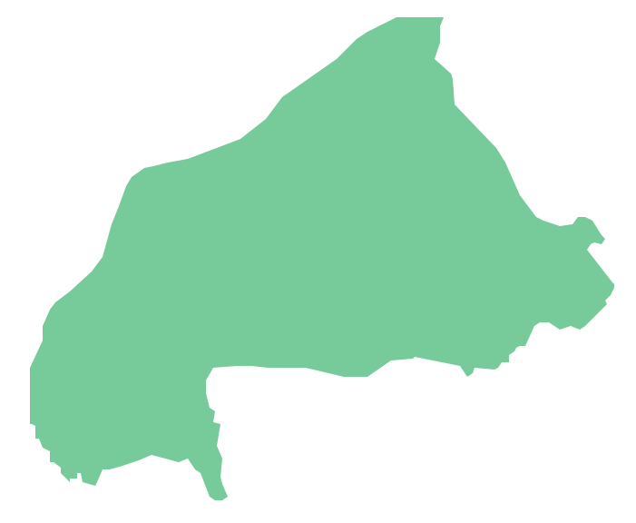
Picture: Geo Map - Africa - Burkina Faso
Related Solution:
Zimbabwe, officially the Republic of Zimbabwe, is a landlocked country located in southern Africa, between the Zambezi and Limpopo rivers.
The vector stencils library Zimbabwe contains contours for ConceptDraw DIAGRAM diagramming and vector drawing software. This library is contained in the Continent Maps solution from Maps area of ConceptDraw Solution Park.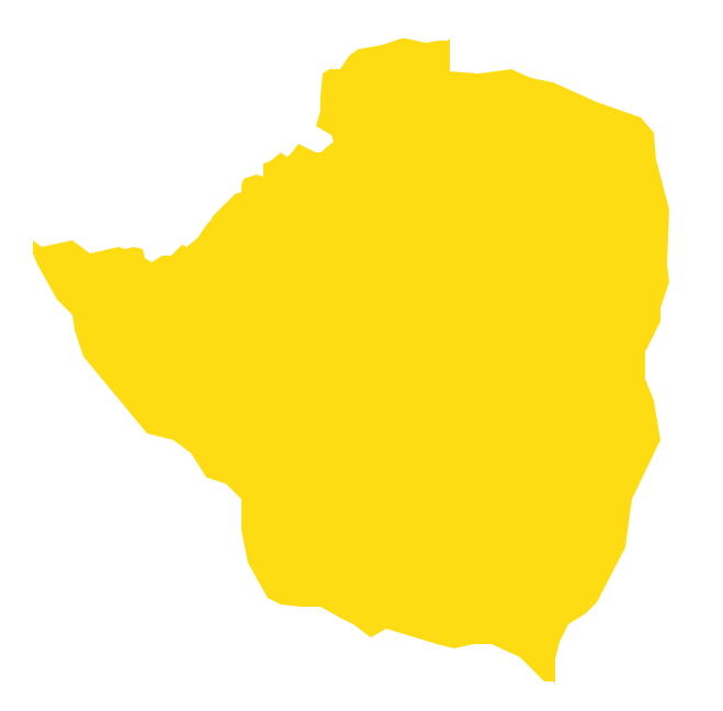
Picture: Geo Map - Africa - Zimbabwe
Related Solution:
Cameroon, officially the Republic of Cameroon, is a country in the west Central Africa region.
The vector stencils library Cameroon contains contours for ConceptDraw DIAGRAM diagramming and vector drawing software. This library is contained in the Continent Maps solution from Maps area of ConceptDraw Solution Park.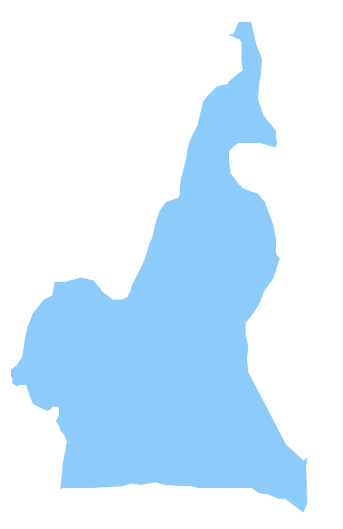
Picture: Geo Map - Africa - Cameroon
Related Solution:


