Geo Map - Africa - Lesotho
Maps of Africa - Kingdom of Lesotho
"Lesotho, officially the Kingdom of Lesotho, is a landlocked country completely surrounded by South Africa. It is just over 30,000 km2 (11,583 sq mi) in size and has a population slightly over two million. Its capital and largest city is Maseru. Lesotho is a member of the Commonwealth of Nations. The name Lesotho translates roughly into the land of the people who speak Sotho."
[Lesotho. Wikipedia]
The vector stencils library Lesotho contains contours for ConceptDraw DIAGRAM diagramming and vector drawing software. This library is contained in the Continent Maps solution from Maps area of ConceptDraw Solution Park.
Use the Lesotho library to draw thematic maps, geospatial infographics and vector illustrations for your business documents, presentations and websites.
Geo Map - Africa - Kingdom of Lesotho
Geo Map - Africa - Lesotho Contour

Geo Map - Africa

Geo Map - Africa Contour

Geo Map - contours of Africa countries

See also Geo Maps of Africa Countries :
FIVE RELATED HOW TO's:
Kenya, officially the Republic of Kenya, is a sovereign state in the African Great Lakes region of East Africa.
The vector stencils library Kenya contains contours for ConceptDraw DIAGRAM diagramming and vector drawing software. This library is contained in the Continent Maps solution from Maps area of ConceptDraw Solution Park.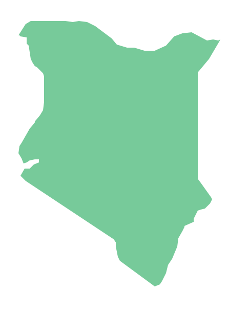
Picture: Geo Map - Africa - Kenya
Related Solution:
Chad, officially the Republic of Chad, is a landlocked country in Central Africa.
The vector stencils library Chad contains contours for ConceptDraw DIAGRAM diagramming and vector drawing software. This library is contained in the Continent Maps solution from Maps area of ConceptDraw Solution Park.
Picture: Geo Map - Africa - Chad
Related Solution:
Scotland is a country that is part of the United Kingdom and covers the northern third of the island of Great Britain.
ConceptDraw DIAGRAM diagramming and vector drawing software extended with powerful Map of UK Solution from the Maps Area of ConceptDraw Solution Park is the best for drawing various kinds of United Kingdom maps, map of Scotland, map of England, map of Wales, Northern Ireland map, thematic UK maps of any detailing and geospatial infographics.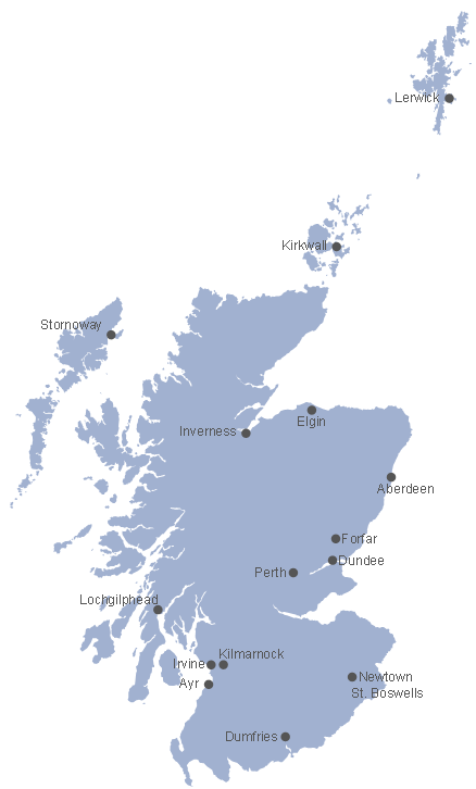
Picture: Map of Scotland
Related Solution:
Africa has 54 fully recognized sovereign states, 9 territories and two de facto independent states with limited or no recognition.
Vector design elements library Africa contains country map contours, geographical maps, cartograms and thematic maps for ConceptDraw DIAGRAM diagramming and vector drawing software. To help visualize the business and thematic information connected with geographic areas, locations or customs.
All ConceptDraw DIAGRAM documents are vector graphic files and are available for reviewing, modifying, and converting to a variety of formats: image, HTML, PDF file, MS PowerPoint Presentation, Adobe Flash, MS Visio (.VDX,.VSDX).
Picture: Geo Map - Africa
Related Solution:
Cameroon, officially the Republic of Cameroon, is a country in the west Central Africa region.
The vector stencils library Cameroon contains contours for ConceptDraw DIAGRAM diagramming and vector drawing software. This library is contained in the Continent Maps solution from Maps area of ConceptDraw Solution Park.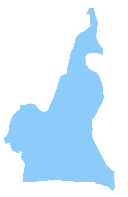
Picture: Geo Map - Africa - Cameroon
Related Solution:


